Schluchtensteig · Stage 2 of 6
Schluchtensteig Stage 2 from Blumberg to Schattenmühle
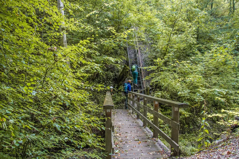
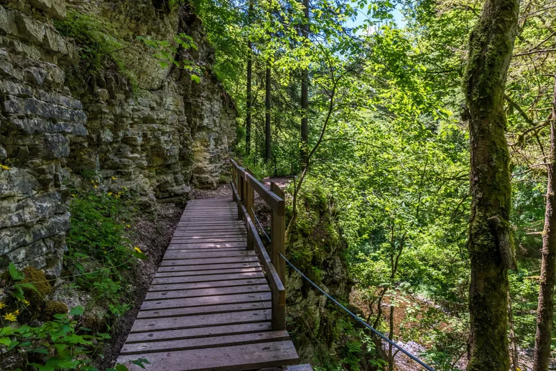
The Wutach Gorge adventure begins at the Wutachmühle sawmill. Here the valley becomes ever narrower and more primeval. Toward the end, the trail climbs to the stage destination at Schattenmühle at the exit of the Lotenbach Gorge. Immerse yourself in the breathtaking Wutach Gorge adventure. Narrow paths hug the water, repeatedly leading you across the wild Wutach on footbridges or along the cliffs above the roaring mountain stream. Well-secured rock galleries and ladders with rope handrails ensure your safe footing. This stage begins with a small test of courage: an 8-meter-long, steep stair ladder takes you down into the small gorge of the Schleifenbach, whose water plunges 20 meters in three spectacular cascades – a nature experience that gets under your skin! (Important note for all adventure lovers with four-legged companions: you can find a detour for dogs on our website.) The route continues to the mysterious Wutach spring, where seeped-in water gushes impressively and vividly out of the mountain into the open. The valley around you becomes ever wilder and narrower, the path winds over a carpet of roots directly along the Wutach, and the vegetation increasingly envelops you in an ever more primeval atmosphere. Majestic rock faces soon rise to your left, secured by a wire-rope handrail. A well-deserved break can be taken at the Schurhammerhütte rest area, where benches invite you to linger and recharge your energy. Afterwards, the path winds up into the rocks, past the rushing Tannegg Waterfall and the traces of the former spa resort Bad Boll, until you reach your stage destination at Schattenmühle. From here, you can continue comfortably—either by local bus, on foot, or by arrangement with your host—to your well-deserved accommodation in Bonndorf, Löffingen, Bräunlingen or Hüfingen.
- Length
- 20.2 km
- Walking time
- approx. 6:15 h
- Ascent
- 416 m
- Descent
- 441 m
Walking time as stated by the operator.
Elevation profile calculated by Fairvisit from satellite elevation data. Ascent and descent usually differ by up to about 10 %, more on steep terrain.
Start
Blumberg
Nearby
Along the way
Finish
Schattenmühle