Schluchtensteig · Stage 3 of 6
Schluchtensteig Stage 3 from Schattenmühle to Schluchsee-Fischbach
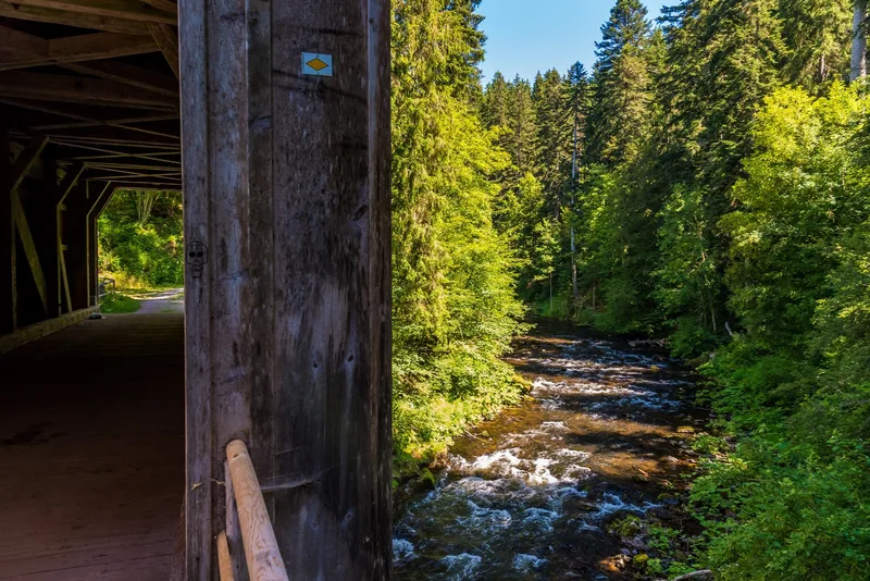
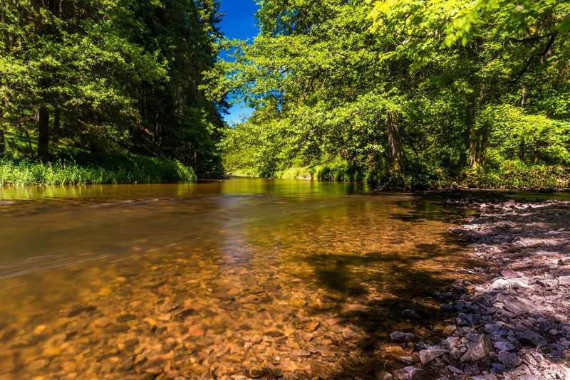
From Schattenmühle, the remains of Räuberschlössle are soon reached. From the mouth of the Rötenbach, the trail turns toward Haslach Gorge. Via Lenzkirch, Oberfischbach is reached through the romantically quiet Schwendetal. Narrow paths, breathtaking rock ledges, the ever-present rushing Wutach, and two worthwhile detours make this section a full-day experience. Right at the start, a detour to nearby Lotenbach Gorge is worthwhile. A few steps later, the first waterfall is already rushing through the closely spaced rocks. Directly at Schattenmühle, the Schluchtensteig climbs steeply up the forested slope, then follows the valley floor for quite a stretch at a pleasantly horizontal level and rises almost imperceptibly to the northern edge of the valley up onto the Baar. The few remains of Räuberschlössle stand on an 80-meter-high rock directly above one of the wildest and most impressive gorge sections. Below the nearby Stallegg ruins, the Wutach thunders with deafening noise over the weir of the Stallegg hydroelectric power plant, the oldest of its kind in Baden. Then the route continues upstream along the Wutach. Long scree slopes stretch from Hörnle down to the river; over hill and dale, the mouth of the Haslach and Haslach Gorge are reached. After Lenzkirch, the trail leads through the romantically quiet Schwendetal to Oberfischbach.
- Length
- 18.0 km
- Walking time
- approx. 6:00 h
- Ascent
- 684 m
- Descent
- 315 m
Walking time as stated by the operator.
Elevation profile calculated by Fairvisit from satellite elevation data. Ascent and descent usually differ by up to about 10 %, more on steep terrain.
Start
Schattenmühle
Along the way
Finish
Schluchsee-Fischbach
Nearby