Schluchtensteig · Stage 1 of 6
Schluchtensteig Stage 1 from Stühlingen to Blumberg
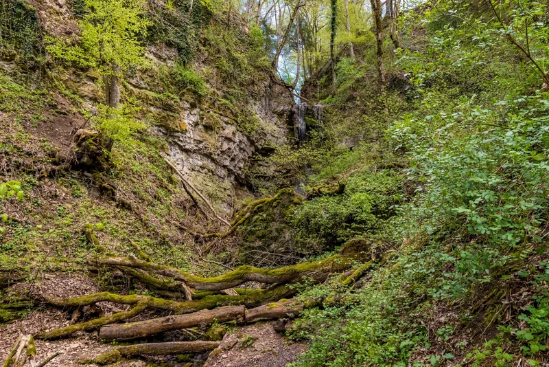
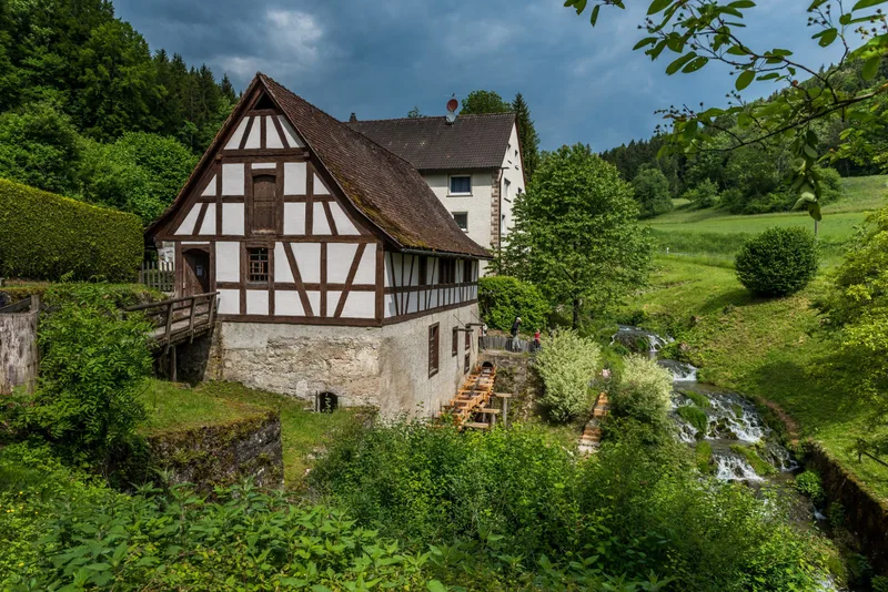
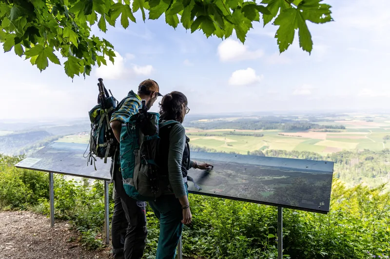
Stühlingen forms the starting point of the tour. You follow the Wutachflühen along narrow paths, past steeply rising rock towers. At Buchberg, you are rewarded with a magnificent panorama. Stühlingen, right on the Swiss border, is the starting point of our long-distance hiking trail – the gateway to an unforgettable adventure. The view of Hohenlupfen Castle, the town’s landmark, sets the mood before the landscape captivates you over the kilometers ahead. In Weizen, you pass the valley station of the famous “Sauschwänzlebahn.” The nostalgic whistle of the steam locomotive will accompany you again and again on this stage. In Lausheim-Blumegg, a detour to the historic museum mill in the hamlet is worthwhile before the adventure really begins: you head into the spectacular rock faces of the Wutachflühen nature reserve. The “Flühen” (= cliffs) reveal their wild beauty here: steeply rising rock towers, giant ferns, moss-covered stones, and gnarled roots show a “primeval forest section” of the Southern Black Forest. On partly exposed narrow paths, you experience nature in its purest form – sure-footedness is absolutely essential here! Shade-giving trees then guide you on the ascent to the Buchberg viewpoint. From the rest area there, you can enjoy the sweeping view over the conquered Wutachflühen and the promising route of the next day. If you have good stamina, you can extend stage 1 to Wutachmühle (total then approx. 26 km, 8 hours).
- Length
- 18.4 km
- Walking time
- approx. 6:15 h
- Ascent
- 688 m
- Descent
- 435 m
Walking time as stated by the operator.
Elevation profile calculated by Fairvisit from satellite elevation data. Ascent and descent usually differ by up to about 10 %, more on steep terrain.
Start
Katholische Kirche in Stühlingen
Nearby
Along the way
Finish
Hauptstraße in Blumberg
Nearby