Neckar Valley Cycle Route Stage 3: Horb am Neckar - Tübingen
Horb am Neckar → Tübingen
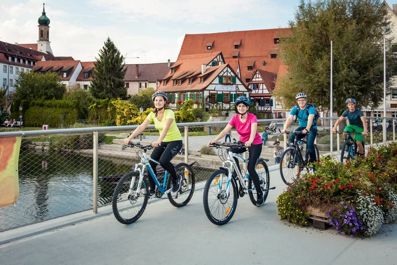
Historic Swabia! From Horb to Tübingen, you pass through several half-timbered towns with a great past and modern flair.
Horb bids farewell to cyclists with one of the most beautiful half-timbered backdrops in the country and sends them off into an idyllic river landscape with many small villages.
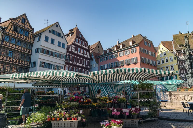
The Neckar bends to the northeast and cuts ever deeper into the heartland of Württemberg. Romans settled in Rottenburg long ago, and much later so did the Catholic bishop of a new diocese, which still has its seat there today. Around the Cathedral and the historic market fountain, shops and cafés invite visitors to linger.
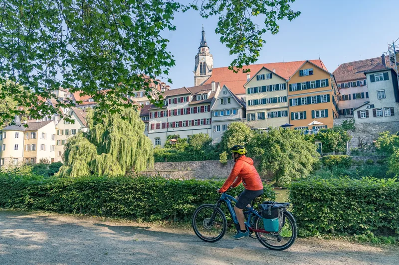
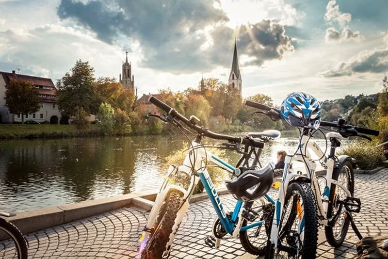
Just a little over ten kilometers away lies the old Protestant heart of Württemberg: the university town of Tübingen. Between the two very different places, the Wurmlingen Chapel looks down from a hill - a picturesque landmark visible for miles. It is as defining for the stage as the Hölderlin Tower on the banks of the Neckar in Tübingen, which you reach at the end of this stage.
Length
35.5 km
Walking time
approx. 9:30 h
Ascent
200 m
Descent
266 m
Walking time without breaks, calculated from length and elevation using the hiking standard DIN 33466 (per hour: 4 km, 300 m uphill, 500 m downhill).
Elevation profile
350 m400 m
12 km19 km0 km35 km
Elevation profile calculated by Fairvisit from satellite elevation data. Ascent and descent usually differ by up to about 10 %, more on steep terrain.
Start
Coordinates48.44305, 8.69074
Horb am Neckar
Nearby
Along the way
Finish
Coordinates48.51955, 9.05807
Tübingen
Nearby
Image rights: Geschäftsstelle Neckartal-Radweg · CC BY-SA 4.0
Image rights: Geschäftsstelle Neckartal-Radweg_Maximilian Semsch · CC BY-SA 4.0
Image rights: Geschäftsstelle Neckartal-Radweg_Maximilian Semsch · CC BY-SA 4.0
Image rights: Landkreis Tübingen Foto Angela Hammer · CC BY-SA 4.0
Image rights: Geschäftsstelle Neckartal-Radweg_Maximilian Semsch · CC BY-SA 4.0
Image rights: Geschäftsstelle Neckartal-Radweg_Maximilian Semsch · CC BY-SA 4.0
Image rights: Landkreis Tübingen Foto Angela Hammer · CC BY-SA 4.0
Image rights: Geschäftsstelle Neckartal-Radweg · CC BY-SA 4.0
Image rights: Geschäftsstelle Neckartal-Radweg_Adrian Weng · CC BY-SA 4.0
Saved
Fairvisit teamOffline
Hi there!
A question or some feedback? Drop us a line – we'd love to hear from you.
We're offline right now.
Leave us a message and we'll get back to you by email:
Thanks! We've got your message and will reply by email.