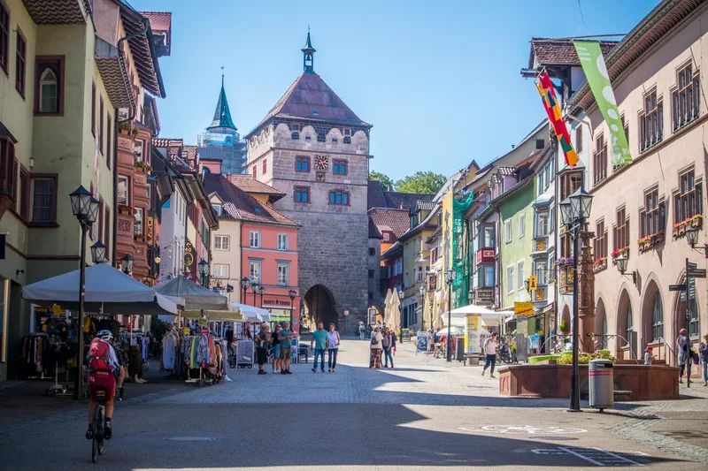
Neckar Valley Cycle Route Stage 2: Rottweil - Horb am Neckar
Rottweil → Horb am Neckar
Between Rottweil and Horb, the Neckar gradually picks up speed, transforming from a small brook into a river. In the middle of a picturesque landscape, it winds around mountains, meanders through meadows and fields, and treats cyclists to downhill stretches.
Not long after the old town of Rottweil, the defensive walls of the ruins of Neckarburg come into view.
Steep slopes, rocks, and gorge-like side valleys follow. Here, the Black Forest and the Swabian Alb meet with a river in the middle that is heading north.
In Oberndorf, the fools lie in wait for it, the wild fellows of the Swabian-Alemannic Fasnet, whose fools' fountain is a wonderful place to cool off even after Ash Wednesday.
On the way to Sulz and Horb, one or two detours are worthwhile, for example to the Jewish synagogue in Rexingen or the moated castle in Glatt.
At the destination in Horb, the Neckar is already a truly impressive body of water, above which the old town rises majestically, serving in summer as the backdrop for the widely known knight games.
Length
47.9 km
Walking time
approx. 13:00 h
Ascent
302 m
Descent
514 m
Walking time without breaks, calculated from length and elevation using the hiking standard DIN 33466 (per hour: 4 km, 300 m uphill, 500 m downhill).
Elevation profile
400 m500 m600 m
26 km0 km48 km
Elevation profile calculated by Fairvisit from satellite elevation data. Ascent and descent usually differ by up to about 10 %, more on steep terrain.
Start
Coordinates48.16785, 8.62717
Rottweil
Nearby
Along the way
Finish
Coordinates48.44305, 8.69074
Horb am Neckar
Nearby
Image rights: Geschäftsstelle Neckartal-Radweg_Adrian Weng · CC BY-SA 4.0
Image rights: Geschäftsstelle Neckartal-Radweg_Adrian Weng · CC BY-SA 4.0
Image rights: Geschäftsstelle Neckartal-Radweg_Adrian Weng · CC BY-SA 4.0
Image rights: Geschäftsstelle Neckartal-Radweg_Adrian Weng · CC BY-SA 4.0
Image rights: Geschäftsstelle Neckartal-Radweg_Adrian Weng · CC BY-SA 4.0
Image rights: Geschäftsstelle Neckartal-Radweg_Adrian Weng · CC BY-SA 4.0
Image rights: Geschäftsstelle Neckartal-Radweg_Adrian Weng · CC BY-SA 4.0
Saved
Fairvisit teamOffline
Hi there!
A question or some feedback? Drop us a line – we'd love to hear from you.
We're offline right now.
Leave us a message and we'll get back to you by email:
Thanks! We've got your message and will reply by email.