Neckar Valley Cycle Route Stage 4: Tübingen - Esslingen am Neckar
Tübingen → Esslingen am Neckar
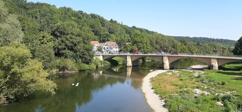
On this stage, the Neckar finally becomes a proper river, so large that from Plochingen onward it is actually navigable. A federal waterway!
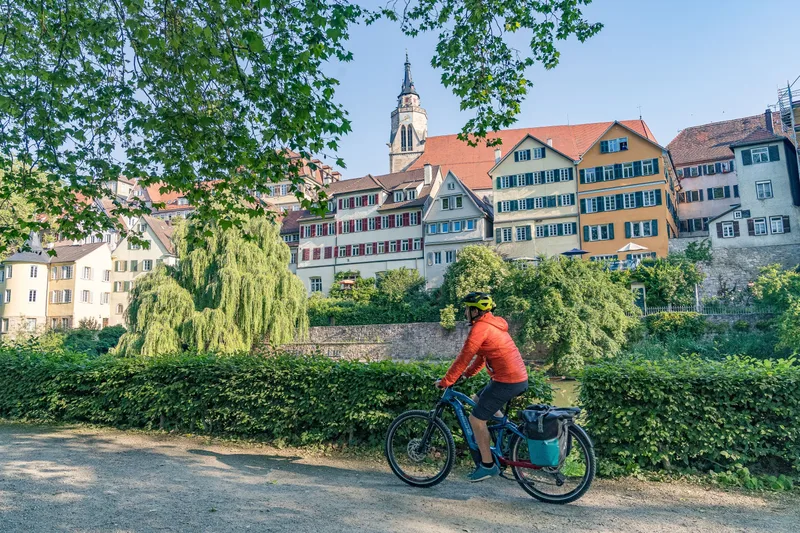
At the starting point in Tübingen, there were still somewhat smaller boats lying along the bank. Punt boat rides are among the favorite leisure activities of Tübingen’s residents, and the students here have truly mastered the art.
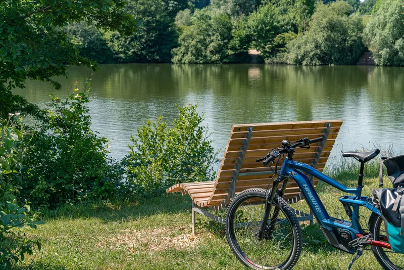
On the way to Nürtingen, numerous reservoirs and ponds accompany the Neckar, resting places for people, but also for birds that find their refuges here.
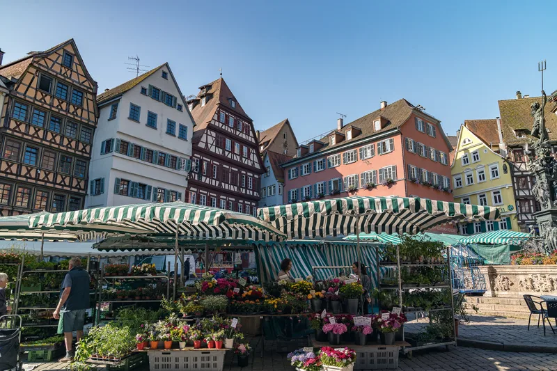
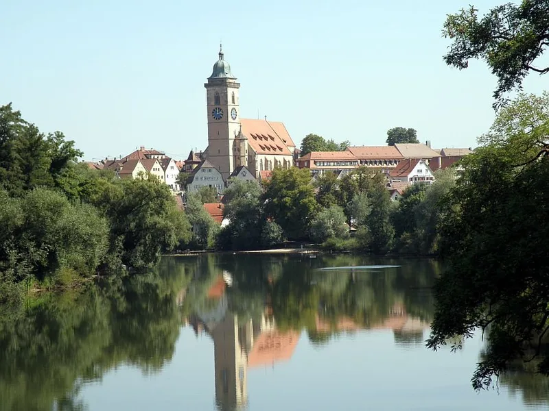
The journey continues at a leisurely pace through the old half-timbered town of Nürtingen, whose landmark, St. Laurentius Church, rises above the old town with its tower. Again and again, the silhouette of the Swabian Alb appears on the right-hand side of the route; at its foot, a few kilometers from the cycling route, lies the old imperial city of Reutlingen. At the stage destination in Esslingen, the next half-timbered backdrop awaits visitors, in a superbly preserved old town that attracts thousands of visitors every year.
Length
52.0 km
Walking time
approx. 13:15 h
Ascent
36 m
Descent
130 m
Walking time without breaks, calculated from length and elevation using the hiking standard DIN 33466 (per hour: 4 km, 300 m uphill, 500 m downhill).
Elevation profile
250 m300 m
0 km52 km
Elevation profile calculated by Fairvisit from satellite elevation data. Ascent and descent usually differ by up to about 10 %, more on steep terrain.
Start
Coordinates48.51955, 9.05807
Tübingen
Nearby
Along the way
Finish
Coordinates48.73747, 9.30311
Esslingen am Neckar
Nearby
Image rights: Geschäftsstelle Neckartal-Radweg_Maximilian Semsch · CC BY-SA 4.0
Image rights: Geschäftsstelle Neckartal-Radweg_Maximilian Semsch · CC BY-SA 4.0
Image rights: Geschäftsstelle Neckartal-Radweg_Maximilian Semsch · CC BY-SA 4.0
Image rights: Geschäftsstelle Neckartal-Radweg_Maximilian Semsch · CC BY-SA 4.0
Image rights: Geschäftsstelle Neckartal-Radweg_Maximilian Semsch · CC BY-SA 4.0
Image rights: Geschäftsstelle Neckartal-Radweg_Maximilian Semsch · CC BY-SA 4.0
Image rights: CC BY 4.0
Image rights: CC BY 4.0
Image rights: CC BY 4.0
Saved
Fairvisit teamOffline
Hi there!
A question or some feedback? Drop us a line – we'd love to hear from you.
We're offline right now.
Leave us a message and we'll get back to you by email:
Thanks! We've got your message and will reply by email.