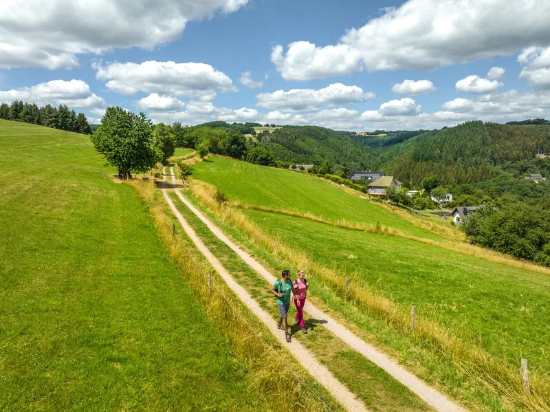
Eifelsteig stage 03 presents itself as a challenging hike that runs from Monschau to Einruhr on the Obersee and is classified as a long-distance as well as regional hiking trail. The route begins in Monschau, a town distinguished by its historic half-timbered houses, ornate doors, and the Rur, which runs through the valley. After leaving the town center, the trail leads to elevated positions, including the Eifel Viewpoint "Kierberg," which offers a final perspective on Monschau before the landscape transitions into wooded areas.
The route is characterized by varied terrain, eventually leading to the Perlenbach Dam. Its waters accompany hikers along the shore. Further on, Monschau-Höfen is reached, where the Höfen National Park Gate provides informative insights into the region's flora, especially the wild daffodils of the Eifel. The village scene of Höfen is also shaped by its distinctive beech hedges, as tall as houses, which serve as a historically grown windbreak and represent a characteristic feature of the Monschau hedge country.
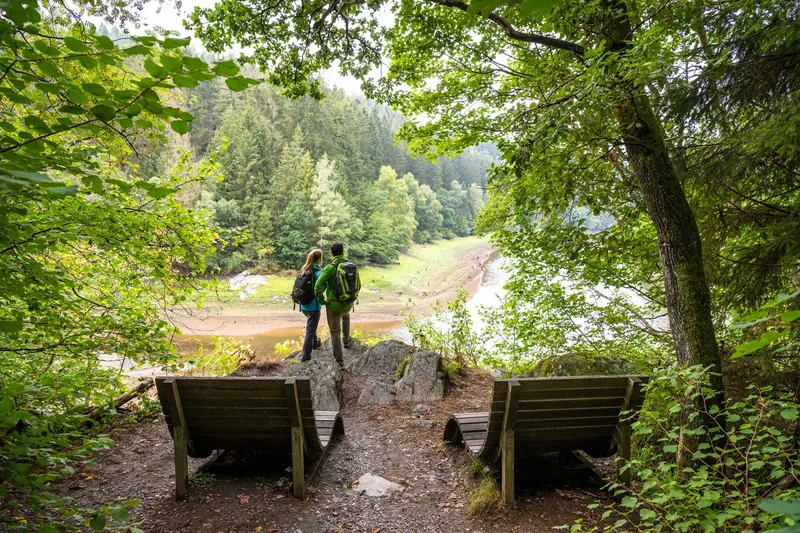
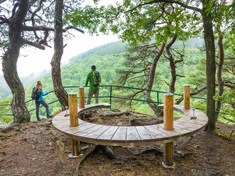
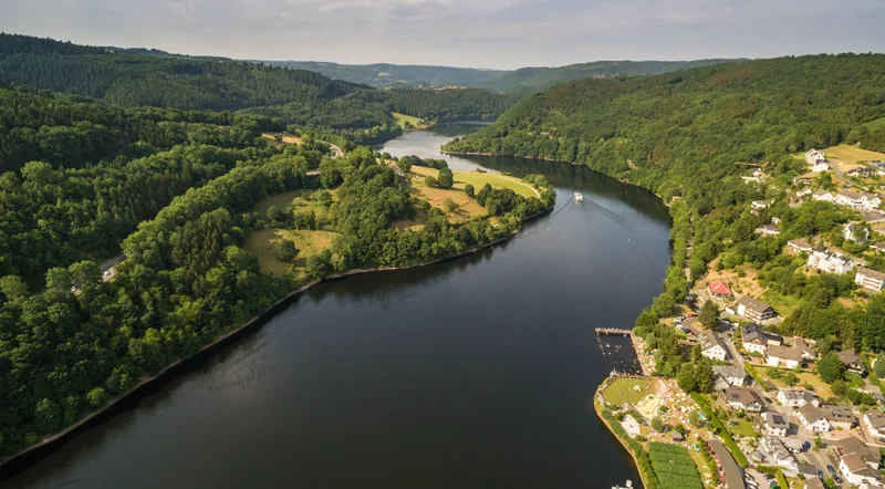
The Eifelsteig continues with further ascents and descents, always accompanied by the course of the Rur, which winds through rocky forest sections. This stretch repeatedly offers views that compensate for the effort of the tour. Particularly noteworthy is the view from Perdsley, which in autumn offers an impressive display of fall colors in the canopy below. The view from Wolfshügel finally reveals the stage destination: Einruhr. In Einruhr, the Rur flows into the Obersee, bringing this challenging stage to an end.
Length
24.3 km
Walking time
approx. 8:15 h
Ascent
786 m
Descent
903 m
Walking time as stated by the operator.
Elevation profile
300 m400 m500 m
6.2 km15 km0 km24 km
Elevation profile calculated by Fairvisit from satellite elevation data. Ascent and descent usually differ by up to about 10 %, more on steep terrain.