The second stage of the Eifelsteig starts in Roetgen and leads through a fascinating border region. The hiking route crosses the Belgian track of the former Vennbahn before entering a German exclave that is completely surrounded by Belgium. The constant change between the national territories is reflected in the adapted Eifelsteig marking, while the local population has grown accustomed to this cross-border reality.
The trail then passes the historical remains of the Reinartzhöfe. It then continues through the High Fens, a vast raised bog and important water reservoir. This primeval landscape contains crosses marking fateful events. The nature-friendly yet highly fire-prone environment requires a straight route in some sections.
The Eifel Viewpoint "Steling" represents the highest point of the Eifelsteig and offers sweeping panoramic views over the Eifel landscape. A place to rest is provided by Kaiser-Karls-Bettstatt, whose legend tells of Emperor Charles's stay.
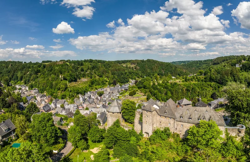
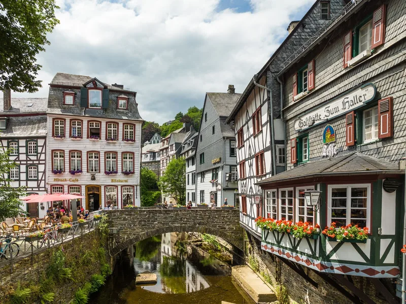
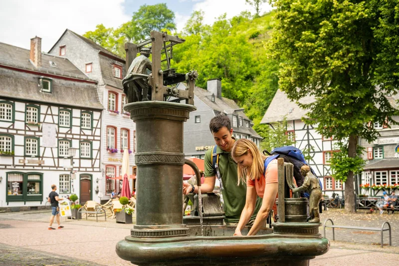
The stage destination is the cloth-making town of Monschau with its historic old town and characteristic half-timbered houses. Here, a variety of local and culinary offerings, including the Monschauer Dütchen, a mustard mill, and a coffee roastery, invite visitors to linger. Monschau's unique atmosphere rounds off the hiking experience.
Length
17.0 km
Walking time
approx. 5:15 h
Ascent
334 m
Descent
343 m
Walking time as stated by the operator.
Elevation profile
500 m600 m
11 km0 km17 km
Elevation profile calculated by Fairvisit from satellite elevation data. Ascent and descent usually differ by up to about 10 %, more on steep terrain.