Westweg · Stage 11
Westweg: Stage 11 West (Wiedener Eck – Kandern)
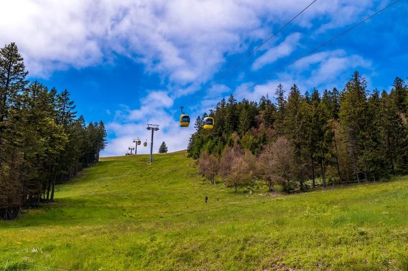
The itinerary includes two of the Black Forest’s major peaks: the Belchen and the Blauen. The Belchen is considered one of the most beautiful, unspoiled, and alpine-like peaks in the southern Black Forest. Its massive mountain range towers over the surrounding valleys with its vast forested and rocky slopes. The Blauen, on the other hand, juts far into the Rhine Valley. As you descend into the Markgräflerland, it’s time to slowly bid farewell to the Black Forest. From the Wiedener Eck, the Westweg circles the Heidstein on narrow trails and then descends through the steep mountain slopes to the Krinne. With the Belchen, the “crown prince” of the Black Forest mountains now looms ahead. A steep, rocky, and alpine trail—enriched with sweeping views down into the Münster Valley—winds uphill through the mountain forest until the bare summit is reached. From the edge of the forest, a detour leads directly to the summit (1,414 m). The Westweg runs parallel along the slope to the Belchenhaus, which has been Baden-Württemberg’s highest-altitude inn since 1898. What a view! From the summit, the vista sweeps across the entire southern Black Forest all the way to the shimmering ice giants of the Alps. 700 meters below, the Kleine and Große Wiesental valleys stretch out with their idyllically situated villages. Through a unique mountain forest of serviceberries and mountain ash, the trail descends—first gently, then steeply—above the Belchen’s 22South Face22. On the rocky, steep slope of the Hohe Kelch, the trail becomes truly challenging. A few handrails help you navigate exposed sections. Passing the Dekan-Strohmeyer Chapel, the trail runs along the edge of the forest to the Haldenhof. On the ascent to the Kreuzweg parking lot, the narrow trail winds around the Weiherfelsen. A relaxing stretch follows along quiet forest paths to the Müllheimer Egerten. From there, the trail leads up the steep northern flank to the iron Blauenturm (1,165 m). From here on, it’s all downhill! The route through the mystical Hexenplatz and past the Sausenburg castle ruins is so entertaining that you’ll reach Kandern faster than you think.
- Length
- 31.9 km
- Walking time
- approx. 11:30 h
- Ascent
- 1053 m
- Descent
- 1740 m
Walking time as stated by the operator.
Elevation profile calculated by Fairvisit from satellite elevation data. Ascent and descent usually differ by up to about 10 %, more on steep terrain.
Start
Westwegportal Wiedener Eck in Wieden
Along the way
Finish
Kandern
Nearby