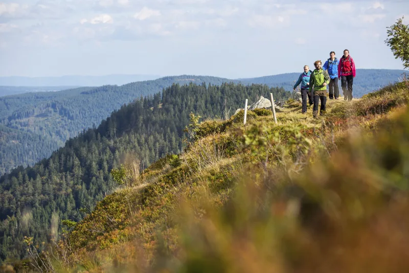
With four high Black Forest mountains, the eastern variant
presents itself from its most beautiful side. Zweiseenblick, Herzogenhorn, Blössling, and
Hochkopf guarantee the highest enjoyment of nature, but at the same time require
a fair amount of fitness and stamina. In the evening, you can recharge your batteries with a good bottle of Baden wine at the Waldhotel Auerhahn "Hochkopfhaus."
Length
25.0 km
Walking time
approx. 8:45 h
Ascent
1018 m
Descent
907 m
Walking time as stated by the operator.
Elevation profile
1,000 m1,200 m
9.2 km16 km0 km25 km
Elevation profile calculated by Fairvisit from satellite elevation data. Ascent and descent usually differ by up to about 10 %, more on steep terrain.
Start
Coordinates47.87177, 8.09840
Feldberg - Bärental
Nearby
Along the way
Finish
Coordinates47.76250, 7.97619
Todtmoos - Weißenbachsattel
Nearby
Image rights: Hochschwarzwald Tourismus GmbH · CC BY-SA 4.0
Saved
Fairvisit teamOffline
Hi there!
A question or some feedback? Drop us a line – we'd love to hear from you.
We're offline right now.
Leave us a message and we'll get back to you by email:
Thanks! We've got your message and will reply by email.