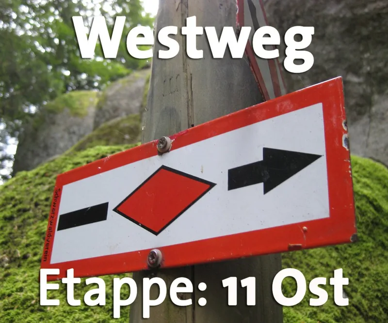
Westweg · Stage 11
Westweg Stage 11 East: Weißenbachsattel (Todtmoos) – Schweigmatt (Schopfheim)
On the descent from Hochkopf to Schweigmatt, hikers experience the full diversity of the Southern Black Forest’s landscape: from the mountain meadows near Todtmoos, through the open mixed forests and scenic forest edges near Gersbach, all the way to the first orchard meadows. And as a highlight, the tower on the Hohe Möhr beckons with a magnificent distant view of the Swiss Alps and the Swiss Jura, as well as the Dinkelberg far below. At the Weißenbachsattel, the Westweg passes through the “Gateway to the Wehratal” and then leads down to the Hochkopfhütte. From there, it climbs gently through spruce and alder forests and across fragrant mountain meadows to Todtmoos-Lehen. Beyond St. Antoni, the trail disappears deep into the forest. Sometimes veering north, sometimes south, it winds around the densely forested hilltops of the ridge line and passes the Altensteiner Kreuz before reemerging from the dark green foliage at the Schwellen. Along the forest edge across the Schwellen, a fantastic view opens up to the south toward the Gersbach sun terrace and all the way to the Swiss Jura. Ahead, you can already see the Hohe Möhr with its characteristic tower-like structure on the summit. At the Sandwürfesattel, the ascent to the last high peak of the Black Forest begins. Finally, the trail winds its way upward in numerous switchbacks. A short detour to a spring promises a refreshing break before reaching the observation tower on the Hohe Möhr (983 m), built in 1893 from stone and wood. Thanks to the platform at a height of 25 meters, Westweg hikers can once again “conquer a thousander.” The 144 steps are rewarded with a sweeping panoramic view over the southwestern tip of the Black Forest. From the tower, the trail continues downhill through the forest, always following the familiar red diamonds, which the path doesn’t leave until reaching the Waldhaus mountain inn. Like an eagle’s nest, Schweigmatt clings to the steep southwestern slope of the Hohe Möhr. With a view of the Dinkelberg—over which the final stages of the hike to Basel run—hikers slowly bid farewell to the Black Forest.
- Length
- 18.4 km
- Walking time
- approx. 6:00 h
- Ascent
- 395 m
- Descent
- 739 m
Walking time as stated by the operator.
Elevation profile calculated by Fairvisit from satellite elevation data. Ascent and descent usually differ by up to about 10 %, more on steep terrain.
Start
Weißenbachsattel (Todtmoos)
Nearby
Along the way
Finish
Schweigmatt (Schopfheim)