Schluchtensteig · Stage 4 of 6
Schluchtensteig Stage 4 from Schluchsee-Fischbach to St. Blasien
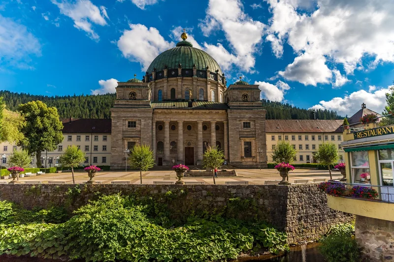
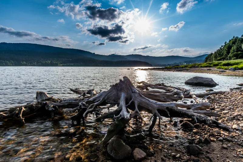
Magnificent views at Bildsteinfelsen or near Muchenland, the pleasant paths along the shore of Lake Schluchsee, and the little Windberg Gorge are the highlights of this stage. Just a few kilometers from the stage start in Oberfischbach, the rocky summit of Bildstein rises out of the fir and spruce forests. From the highest viewpoint on the entire Schluchtensteig, a magnificent panorama opens up: the view sweeps over the glittering Schluchsee to the distant Alps. Once a glacial lake, Schluchsee was dammed and is now Germany’s highest reservoir — a paradise for swimming, water sports, or a leisurely boat trip. After circling the western shore and stopping at the Unterkrummenhof snack bar, the trail leads back into quiet forests. It climbs moderately but steadily to the highest point on the trail, Krummenkreuz, where a clearing with a rest area invites you to take a break. A nostalgic photo stop awaits in Muchenland, where ancient Black Forest farmhouses tell of times gone by. Behind the mountain village of Althütte, the steep descent into the Alb Valley begins. Soon the roar of Windberg Waterfall can be heard — a sign that the grand finale of this stage is near. The path winds downhill along the Windberg Brook over bridges and rocks. On the edge of St. Blasien, the view opens onto the imposing Cathedral of St. Blasius, which stands majestically between forests and mountains. Here, in the well-kept parkland on the gently rippling banks of the Alb, an eventful day of hiking full of nature, silence, and impressive views comes to an end.
- Length
- 19.7 km
- Walking time
- approx. 6:15 h
- Ascent
- 439 m
- Descent
- 710 m
Walking time as stated by the operator.
Elevation profile calculated by Fairvisit from satellite elevation data. Ascent and descent usually differ by up to about 10 %, more on steep terrain.
Start
Oberfischbach
Nearby
Along the way
Finish
St. Blasien
Nearby