Neckar Valley Cycle Route Stage 1: Villingen-Schwenningen - Rottweil
Villingen Bahnhof → Rottweil Hauptstraße
The first stage of the Neckar Valley Cycle Route is a cultural and scenic experience.
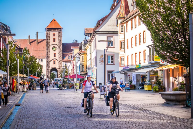
It begins in the twin city of Villingen-Schwenningen, one part of which — Villingen — once lay in Baden, while Schwenningen is old Württemberg territory. An attractive combination with an old town in Villingen that recalls the great history of the Zähringen. On the way to Schwenningen, one first encounters the namesake of the cycle route: from a small opening in the moor, the source of the Neckar gushes forth, set in stone and marked by name. A lovely place to pause for a moment. From now on, the river is a constant companion, a gurgling stream that here still ripples gently through the landscape. This section near Dauchingen and Deißlingen is affectionately also called the “Neckartäle.”
At the end of this short first stage lies another piece of regional history: with over 2,000 years of history, Rottweil is the oldest town in Baden-Württemberg.
Length
27.3 km
Walking time
approx. 7:15 h
Ascent
89 m
Descent
198 m
Walking time without breaks, calculated from length and elevation using the hiking standard DIN 33466 (per hour: 4 km, 300 m uphill, 500 m downhill).
Elevation profile
600 m700 m
0 km27 km
Elevation profile calculated by Fairvisit from satellite elevation data. Ascent and descent usually differ by up to about 10 %, more on steep terrain.
Start
Coordinates48.05765, 8.46294
Villingen Bahnhof
Nearby
Along the way
Finish
Coordinates48.16785, 8.62717
Rottweil Hauptstraße
Nearby
Image rights: Geschäftsstelle Neckartal-Radweg_Adrian Weng · CC BY-SA 4.0
Image rights: Geschäftsstelle Neckartal-Radweg_Adrian Weng · CC BY-SA 4.0
Image rights: Geschäftsstelle Neckartal-Radweg_Adrian Weng · CC BY-SA 4.0
Image rights: Geschäftsstelle Neckartal-Radweg_Adrian Weng · CC BY-SA 4.0
Image rights: Geschäftsstelle Neckartal-Radwg_Adrian Weng · CC BY-SA 4.0
Saved
Fairvisit teamOffline
Hi there!
A question or some feedback? Drop us a line – we'd love to hear from you.
We're offline right now.
Leave us a message and we'll get back to you by email:
Thanks! We've got your message and will reply by email.