Ridge Trail Stage 14 - Variant: Cultural route through Adorf
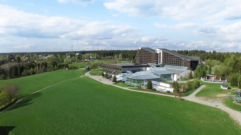
Schoeneck IFA Ferienpark → Obereichigt Bushaltestelle
Shortly before Adorf, the ridge trail splits into two variants.
The official route leads on natural paths, partly with beautiful wide views, around Adorf.
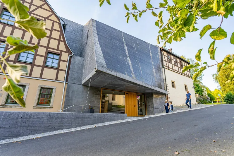
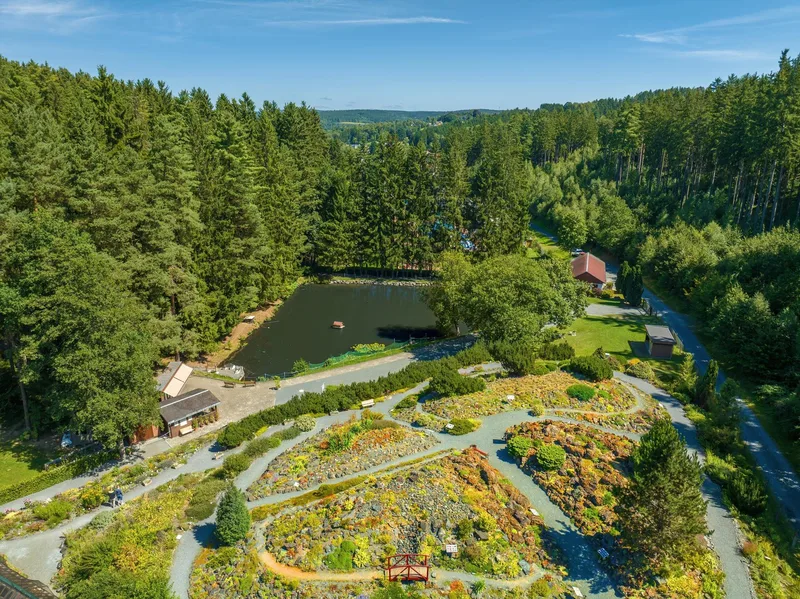
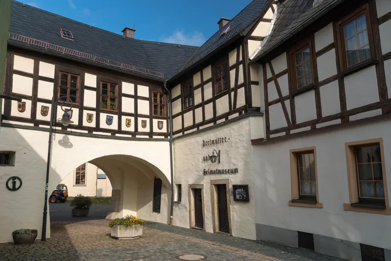
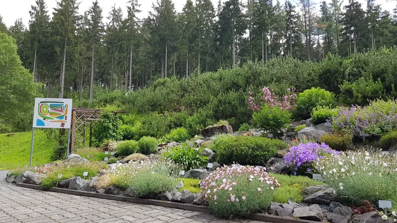
The variant described here is signed as an "Alternative" cultural route that leads directly through the town of Adorf, where a visit to the Perlmutter Adventure Museum, reopening in September 2025, or a detour to the botanical garden and the miniature exhibition "Little Vogtland" is worthwhile.
Length
21.9 km
Walking time
approx. 6:30 h
Ascent
274 m
Descent
455 m
Walking time as stated by the operator.
Elevation profile
600 m
7.6 km12 km0 km22 km
Elevation profile calculated by Fairvisit from satellite elevation data. Ascent and descent usually differ by up to about 10 %, more on steep terrain.
Start
Coordinates50.38906, 12.34678
Schoeneck IFA Ferienpark
Along the way
Finish
Coordinates50.34334, 12.16069
Obereichigt Bushaltestelle
Image rights: Archiv TVV/D.Rückschloß · CC BY-SA 4.0
Image rights: Archiv TVV/S. Theilig · CC BY-SA 4.0
Image rights: Archiv TVV / Tino Peisker · CC BY-SA 4.0
Image rights: Archiv TVV/S. Theilig · CC BY-SA 4.0
Image rights: Archiv TVV/D.Rückschloß · CC BY-SA 4.0
Image rights: Archiv TVV/D.Rückschloß · CC BY-SA 4.0
Image rights: Tourismusverband Vogtland e. V., Sebastian Theilig · CC BY-SA 4.0
Image rights: Archiv TVV/D.Rückschloß · CC BY-SA 4.0
Image rights: Archiv TVV / S. Theilig · CC BY-SA 4.0
Image rights: Archiv TVV/D.Wießner · CC BY-SA 4.0
Saved
Fairvisit teamOffline
Hi there!
A question or some feedback? Drop us a line – we'd love to hear from you.
We're offline right now.
Leave us a message and we'll get back to you by email:
Thanks! We've got your message and will reply by email.