Skip to content
Kammweg Erzgebirge-Vogtland

Kammweg Erzgebirge-Vogtland · Stage 15 of 17

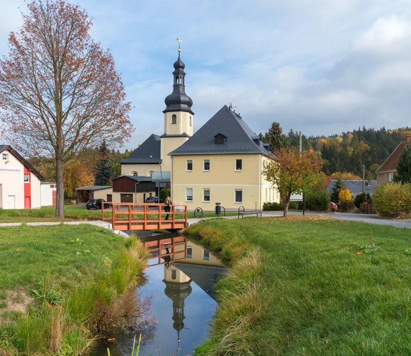
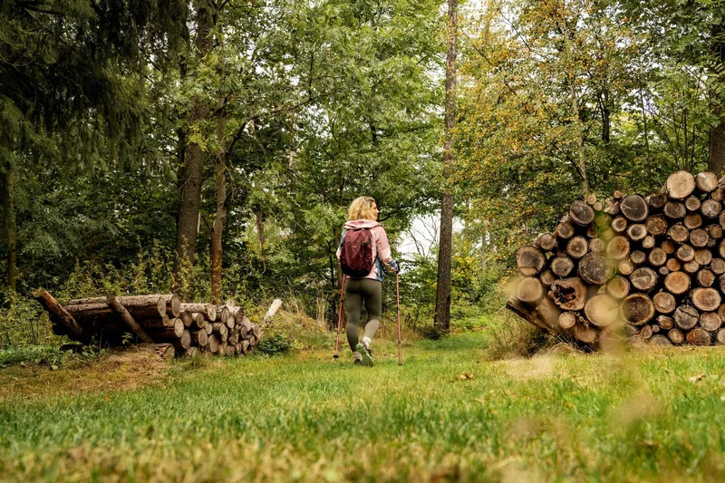
Kammweg stage 15 "From Eichigt to the Burgstein area"

Bushaltestelle → Parkplatz Burgsteinhäuser
Length
20.8 km
Walking time
approx. 6:00 h
Ascent
287 m
Descent
346 m

Walking time as stated by the operator.

Elevation profile
500 m 600 m
5.8 km 15 km 0 km 21 km

Elevation profile calculated by Fairvisit from satellite elevation data. Ascent and descent usually differ by up to about 10 %, more on steep terrain.

Start

Coordinates 50.34348, 12.16087

Obereichigt, Bushaltestelle

Finish

Coordinates 50.41602, 11.99715

Burgstein, Parkplatz Burgsteinhäuser
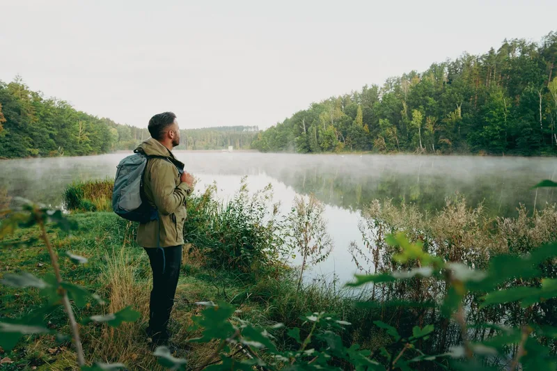
Kammweg stage 15 "From Eichigt to the Burgstein area"
Image rights: Archiv TVV/D.Rückschloß · CC BY-SA 4.0
Kammweg stage 15 "From Eichigt to the Burgstein area"
Image rights: Archiv TVV / S. Theilig · CC BY-SA 4.0
Kammweg stage 15 "From Eichigt to the Burgstein area"
Image rights: Archiv TVV / S. Theilig · CC BY-SA 4.0
Kammweg stage 15 "From Eichigt to the Burgstein area"
Image rights: Archiv TVV/D.Rückschloß · CC BY-SA 4.0
Kammweg stage 15 "From Eichigt to the Burgstein area"
Image rights: Archiv TVV/D.Rückschloß · CC BY-SA 4.0
Kammweg stage 15 "From Eichigt to the Burgstein area"
Image rights: Archiv TVV/D.Rückschloß · CC BY-SA 4.0

Check trail conditions and closures with the operator before you set off.

Source: Tourismus Marketing Gesellschaft Sachsen mbH · CC BY-SA 4.0

Elevation data: produced using Copernicus WorldDEM-30 © DLR e.V. 2010-2014 and © Airbus Defence and Space GmbH 2014-2018 provided under COPERNICUS by the European Union and ESA; all rights reserved

The organisations in charge of the Copernicus programme by law or by delegation do not incur any liability for any use of the Copernicus WorldDEM-30.

Saved