Eifelsteig · Stage 1 of 15
Eifelsteig stage 01
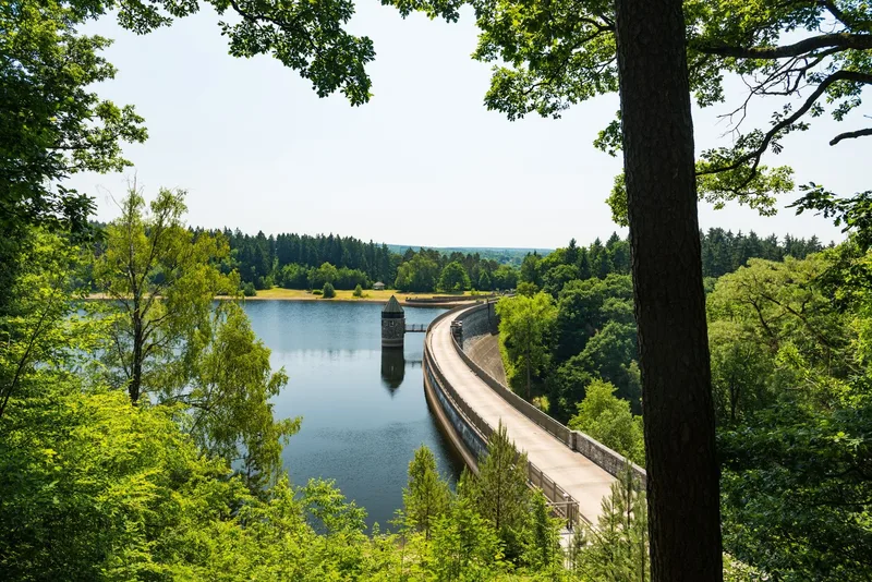
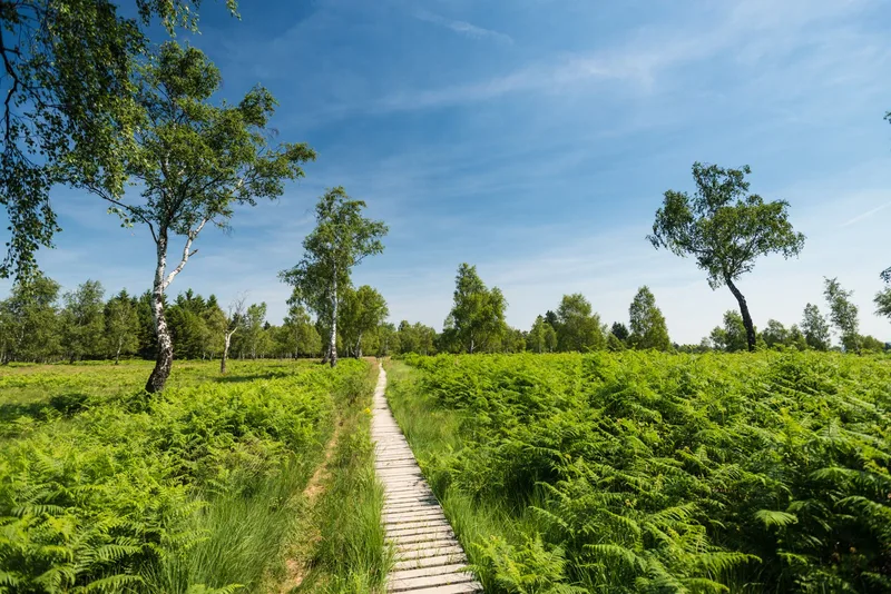
Eifelsteig stage 01 starts in Aachen-Kornelimünster and ends in Roetgen. The historic Korneliusmarkt in Kornelimünster, a place with a distinctive architectural character, marks the beginning of this hike. The route first passes the stone Itertal Viaduct, a former railway bridge that now serves as part of the Vennbahn Cycle Route. It then climbs up to the first Eifel ridge. The trail runs through wooded areas, whose fresh air intensifies the nature experience. A striking landscape feature is the Struffelt Heide raised bog. This area, of ecological importance, serves as a large water reservoir. Specially built wooden boardwalks ensure safe passage through the nature reserve and provide extensive views of the characteristic vegetation of grasses, birches, and heather. Further on, the Dreilägerbach Dam shapes the landscape. Its smooth water surface leads into the next section. A viewing platform located above the lake offers a place to rest and opens up wide views over the region. The presence of water in this Eifel region is a recurring element of the landscape. A subsequent steep descent into the valley is followed by a steady climb back up. The long-distance view here reveals the destination of the stage: Roetgen.
- Length
- 14.1 km
- Walking time
- approx. 4:15 h
- Ascent
- 327 m
- Descent
- 136 m
Walking time as stated by the operator.
Elevation profile calculated by Fairvisit from satellite elevation data. Ascent and descent usually differ by up to about 10 %, more on steep terrain.
Start
Benediktusplatz, 52076 Kornelimünster
Nearby
Along the way
Finish
Bahnhofstraße (Wanderstation / Pferdeweiher), 52159 Roetgen
Nearby