It is usually warmest in July, at about 14 °C during the day.
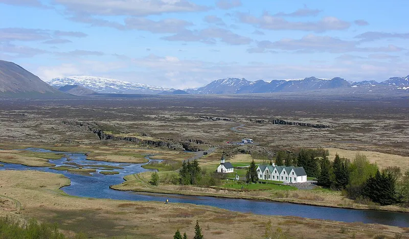
Bláskógabyggð in south-west Iceland covers three stops of the Golden Circle: Þingvellir National Park, the geothermal area at Geysir and the Gullfoss waterfall. Þingvellir lies about 40 kilometres east of Reykjavík on the north shore of Þingvallavatn and has been a UNESCO World Heritage Site since 2004. From 930, the Althing, the assembly of the Icelanders, met here.The Silfra fissure in the national park formed as the North American and Eurasian plates drift apart; its clear water is used for snorkelling and diving. The Great Geysir gave all geysers their name. Its neighbour Strokkur usually erupts every six to ten minutes, around 15 to 20 metres high.
Gullfoss drops in two steps into a gorge of the Hvítá river. The Laugarvatnshellir cave lies near Laugarvatn, and north of Þingvellir rises the shield volcano Skjaldbreiður, formed around 9,000 years ago.
Places to stay in Laugarvatn and Geysir
Places to stay
3
Within 50 km you will find 9 places to stay.
View places to stay nearbyWhen to visit Laugarvatn and Geysir
The next twelve months, November 2026 to October 2027. Clicking a month opens the search for one week from the first Saturday; you can change the dates there.
| Month | High temp. | Rain days |
|---|---|---|
| November 2026 | 0.5 °C | 17 |
| December 2026 | -0.8 °C | 19 |
| January 2027 | -0.8 °C | 20 |
| February 2027 | -0.8 °C | 18 |
| March 2027 | 0.2 °C | 19 |
| April 2027 | 3.0 °C | 17 |
| May 2027 | 7.0 °C | 16 |
| June 2027 | 12.0 °C | 16 |
| July 2027 | 13.9 °C | 18 |
| August 2027 | 12.6 °C | 17 |
| September 2027 | 8.9 °C | 20 |
| October 2027 | 4.0 °C | 17 |
Weather: long-term average 1991 to 2020 from the climate atlas of the Copernicus Climate Change Service (ERA5-Land), grid cell near the centre of the destination; rain days are days with more than 1 mm of precipitation. Contains modified Copernicus Climate Change Service information (2026), CC BY 4.0.
Discover Laugarvatn and Geysir
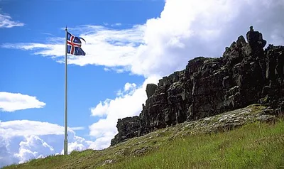
Þingvellir National Park
Þingvellir (Thingvellir) is the National Park where the Althing, an open-air assembly representing the whole of Iceland,...
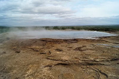
Geysir
Geysir (Icelandic pronunciation: [ˈceiːsɪr̥] ), sometimes known as The Great Geysir, is a geyser in south-western Icelan...
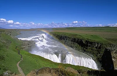
Gullfoss
Gullfoss ("Golden Falls"; [ˈkʏtl̥ˌfɔsː]) is a waterfall located in the canyon of the Hvítá river in southwest Iceland,...
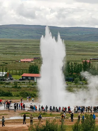
Strokkur
Strokkur (Icelandic [ˈstrɔhkʏr̥], "churn") is a fountain-type geyser located in a geothermal area beside the Hvítá River...
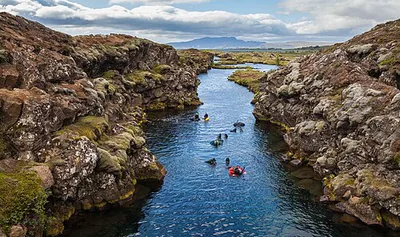
Silfra
Silfra (Icelandic pronunciation: [ˈsɪl(v)ra]) is a rift formed in the Mid-Atlantic Ridge – the divergent tectonic bounda...
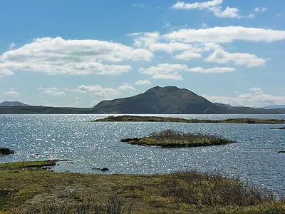
Þingvallavatn
Þingvallavatn (Icelandic pronunciation: [ˈθiŋkˌvatlaˌvahtn̥] , lit. 'Þingvellir Lake'), anglicised as Thingvallavatn, is...
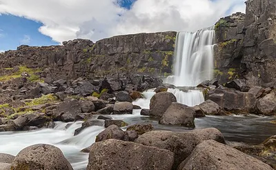
Öxarárfoss
Öxarárfoss (Icelandic pronunciation: [ˈœksarˌaurˌfɔsː] ) is a waterfall in Þingvellir National Park, Iceland. It flows f...
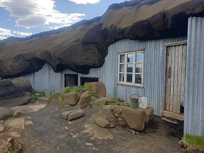
Laugarvatnshellir
Laugarvatnshellar are man-made palagonite caves in Reyðarbarmur on Laugarvatnsvellir, halfway between Þingvellir and Lau...
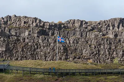
Lögberg
Lögberg (Icelandic pronunciation: [ˈlœɣˌpɛrk], Old Norse lǫgberg, Old Norse pronunciation: [ˈlɒɣˌberɣ]), or Law Rock, wa...
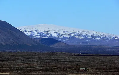
Skjaldbreiður
Skjaldbreiður (Icelandic pronunciation: [ˈscaltˌpreiːðʏr̥] , "broad shield") is an Icelandic lava shield formed in an er...
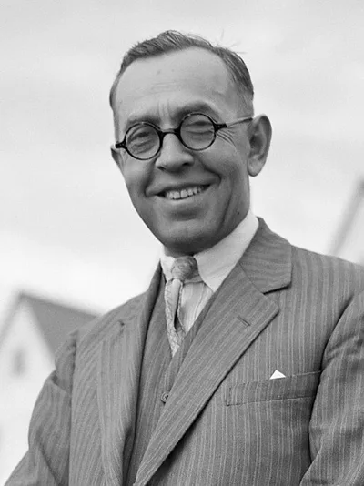
Jónas Jónsson
Jónas Jónsson (also known as Jónas frá Hriflu; May 1, 1885 – July 19, 1968) was an Icelandic educator and politician, an...
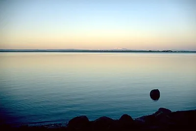
Laugarvatn
Laugarvatn (Icelandic pronunciation: [ˈlœyːɣarˌvahtn̥] ) is the name of a lake and a small town in the south of Iceland....
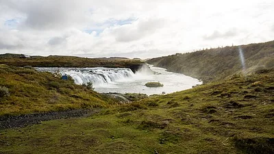
Faxi
The Faxi (Icelandic pronunciation: [ˈfaksɪ] , or Vatnsleysufoss [ˈvasːˌleiːsʏˌfɔsː]) waterfall is located on the Golden...
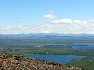
Apavatn
Apavatn (Icelandic pronunciation: [ˈaːpaˌvahtn̥] ) is a lake in southwest Iceland. With a surface area of around 13 km2...
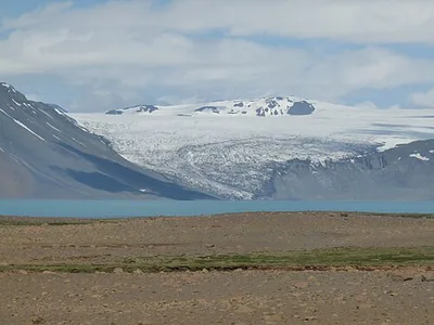
Hvítárvatn
Hvítárvatn (Icelandic pronunciation: [ˈkʰviːtˌaurˌvahtn̥] , "white river lake"; also known as Hvítárlón [ˈkʰviːtˌaurˌlou...
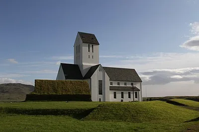
Skálholt Cathedral
Skálholt Cathedral (Icelandic: Skálholtsdómkirkja) is a Church of Iceland cathedral church. The church is the official c...
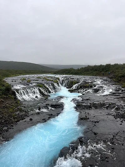
Bruarfoss Waterfall
The Brúarfoss (“bridge waterfall”) is a waterfall in the south of Iceland. Here the Brúará drops in two steps a total of...
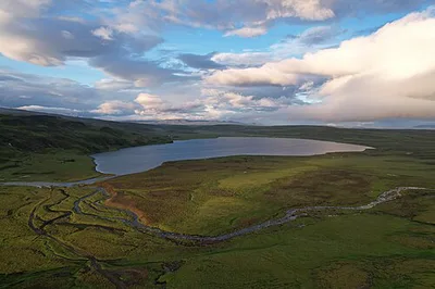
Stíflisdalsvatn
Stíflisdalsvatn is a small lake north-west of Þingvallavatn, 35 km from Reykjavík. Its area is 1.65 km². Its greatest de...
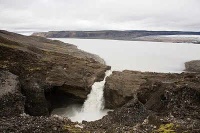
Hagavatn
The Hagavatn is an ice-marginal lake in the Icelandic Highlands, in the municipality of Bláskógabyggð. The lake is fed b...
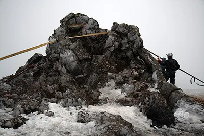
Tintron
Tintron is a cave and pseudocrater in the Icelandic lava field Gjábakkahraun. It lies near the road that connects Þingve...
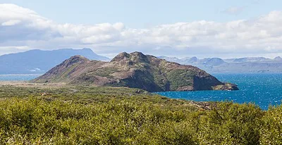
Arnarfell
The mountain Arnarfell on Þingvallavatn (Icelandic: Arnarfell við Þingvallavatn) lies in the south-west of Iceland. It j...
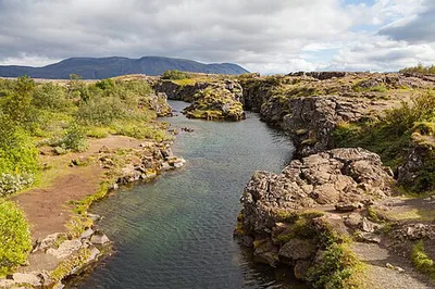
Flosagjá
Flosagjá is a fissure at Þingvellir which merges with Nikulásargjá at the end of a lava ridge called Spöngin. Flosagjá a...
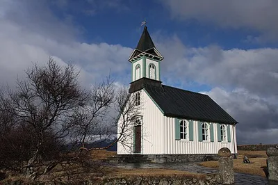
Þingvallakirkja
Þingvallakirkja is a church in Þingvellir National Park and belongs to the Þingvellir parish in the Árnes deanery. The p...
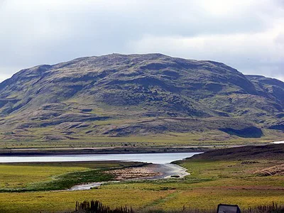
Vörðufell
Vörðufell (Icelandic pronunciation: [ˈvœrðʏˌfɛtl̥]) is a 391 metres (1,283 ft) mountain near the Hvítá river and the tow...
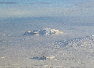
Hlöðufell
Hlöðufell (Icelandic pronunciation: [ˈl̥œːðʏˌfɛtl̥]) is a tuya volcano, located about 10 km southwest of Langjökull, Ice...
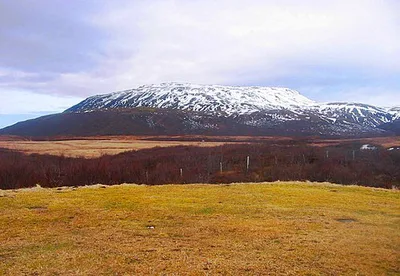
Efstadalsfjall
Efstadalsfjall is a 627-metre mountain east of Laugarvatn.
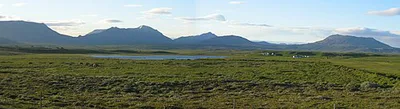
Högnhöfði
Högnhöfði is a tuya (1002 m) in the south of Iceland. Its volume is estimated by Eason et al. (2015) at 3.8 km3.
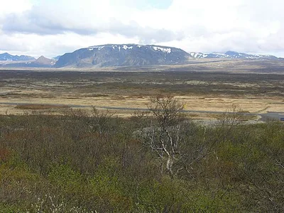
Hrafnabjörg
The volcano Hrafnabjörg is in Iceland. It is located in the south-west of the island, north-east of the lake Þingvallava...
Map of Laugarvatn and Geysir
28 places on the map.
Around Laugarvatn and Geysir
Nearby regions — for a day trip or as an alternative base.