It is usually warmest in July, at about 14 °C during the day.
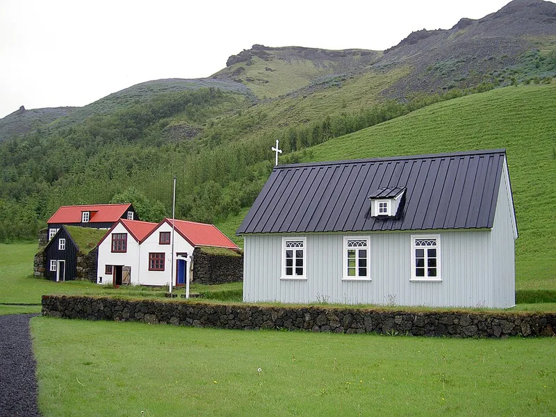
Rangárþing eystra lies on Iceland's south coast between Hvolsvöllur and Skógar, below the Eyjafjallajökull glacier. Its best-known waterfalls are right by the Ring Road.Seljalandsfoss drops 66 metres; a path leads behind the curtain of water. About 600 metres to the north is the 40-metre Gljúfrabúi, hidden in a narrow gorge. Skógafoss falls over the edge of a former sea cliff at the village of Skógar; the sea is now about five kilometres away. The Skógasafn museum shows rural life in old Iceland, and 1.6 kilometres to the west is the smaller Kvernufoss.
A track with river crossings leads into the Þórsmörk valley between the glaciers; it is only passable by four-wheel drive or bus.
Places to stay in Hvolsvöllur and Skógar
Places to stay
4
Within 50 km you will find 8 places to stay.
View places to stay nearbyWhen to visit Hvolsvöllur and Skógar
The next twelve months, November 2026 to October 2027. Clicking a month opens the search for one week from the first Saturday; you can change the dates there.
| Month | High temp. | Rain days |
|---|---|---|
| November 2026 | 2.7 °C | 18 |
| December 2026 | 1.4 °C | 20 |
| January 2027 | 1.5 °C | 21 |
| February 2027 | 1.8 °C | 19 |
| March 2027 | 2.8 °C | 19 |
| April 2027 | 5.6 °C | 18 |
| May 2027 | 9.0 °C | 17 |
| June 2027 | 12.2 °C | 17 |
| July 2027 | 14.0 °C | 19 |
| August 2027 | 13.2 °C | 19 |
| September 2027 | 10.2 °C | 20 |
| October 2027 | 6.0 °C | 18 |
Weather: long-term average 1991 to 2020 from the climate atlas of the Copernicus Climate Change Service (ERA5-Land), grid cell near the centre of the destination; rain days are days with more than 1 mm of precipitation. Contains modified Copernicus Climate Change Service information (2026), CC BY 4.0.
Discover Hvolsvöllur and Skógar
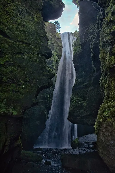
Gljúfrafoss
Gljúfrafoss (Icelandic pronunciation: [ˈkljuvraˌfɔsː] ) or Gljúfrabúi [-ˈpuːɪ] ("one who lives in the canyon") is a smal...
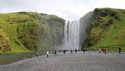
Skógafoss
Skógafoss (pronounced [ˈskouː(ɣ)aˌfɔsː] ) is a waterfall on the Skógá River in the south of Iceland at the cliff marking...
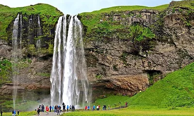
Seljalandsfoss
Seljalandsfoss (Icelandic pronunciation: [ˈsɛljaˌlan(t)sˌfɔsː] ) is a waterfall in Iceland. Seljalandsfoss is located in...
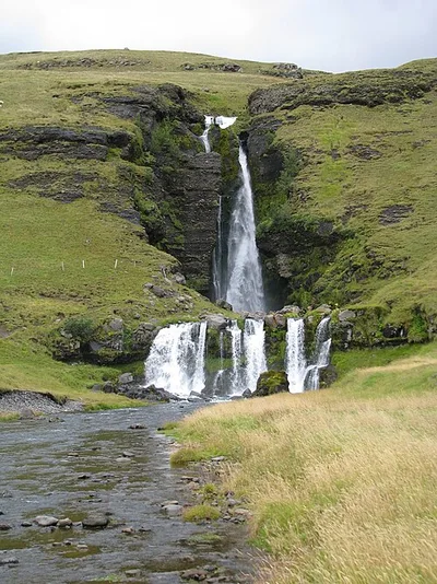
Gluggafoss
Gluggafoss (Icelandic pronunciation: [ˈklʏkːaˌfɔsː]) is a waterfall in southern Iceland, specifically in the Fljótshlíð...
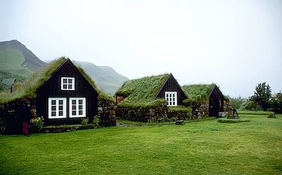
Skógasafn
The Skógar Folk Museum was founded in 1949, which makes it one of the oldest folk museums in the country. The collection...
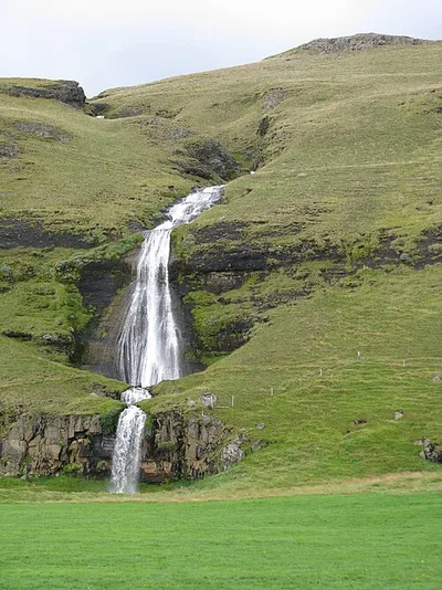
Þórðarfoss
The Þórðarfoss is a waterfall in the south of Iceland. In the Fljótshlíð, the small river Þórðará plunges 80 metres in s...
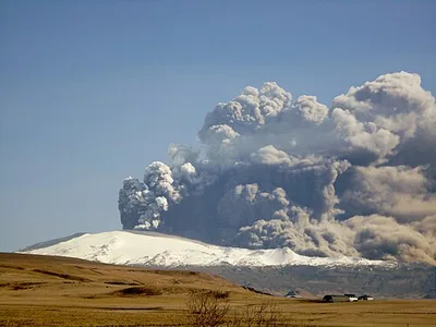
Eyjafjallajökul
Eyjafjallajökull is one of the smaller glaciers in Iceland. It lies north of Skógar and west of the large Mýrdalsjökull...
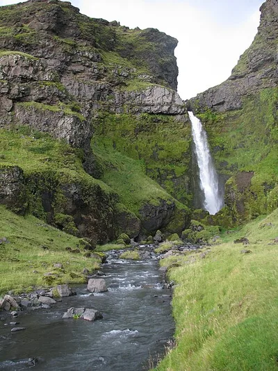
Írárfoss
The Írárfoss is a waterfall in the south of Iceland. Here the rather small river Írá plunges 60 m into the depths. The w...
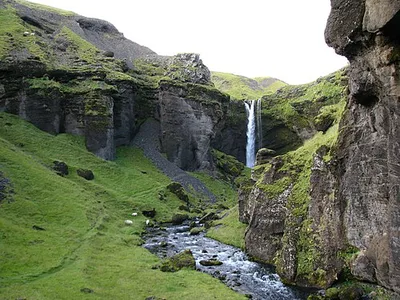
Kvernufoss
Kvernufoss (Icelandic pronunciation: [ˈkʰvɛ(r)tnʏˌfɔsː]) is a waterfall on the Skógá River in the south of Iceland.
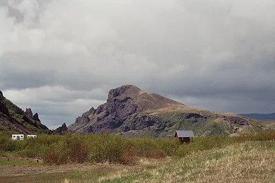
Valahnúkur
Valahnúkur is a volcanic mountain in the Þórsmörk nature reserve in the south of Iceland.
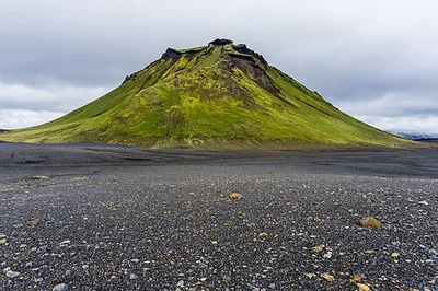
Hattafell
Hattafell is a 910-metre mountain in Emstrur, north-east of Mýrdalsjökull. The mountain lies on the route of the Laugave...
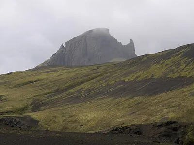
Einhyrningur
The mountain Einhyrningur (Icelandic for unicorn) is located in Iceland. It reaches a height of 651 m.
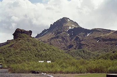
Útigönguhöfði
Útigönguhöfði is a mountain above Básar in Goðaland. The mountain is 805 metres high, and hiking trails run along its ea...
Map of Hvolsvöllur and Skógar
13 places on the map.
Around Hvolsvöllur and Skógar
Nearby regions — for a day trip or as an alternative base.