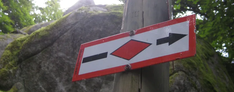
Westweg · Stage 6
Westweg Stage 06: Hark - Hausach
Stage 6 ventures deep into the heart of the Black Forest. As far as the exposed Spitzfelsen jutting out into the Kinzig Valley, the trail follows the narrow ridge between the Wolf Valley and the Einbach Valley, which descends from the Brandenkopf. The 945 m-high Brandenkopf, with its tall observation tower, is well worth a detour, especially since there is also a staffed Black Forest Club hikers' lodge on its summit. At the Harksattel above the Hark inn, hikers rejoin the Westweg. Across mountain meadows, the trail leads into the forest and around the Regeleskopf to the Kreuzsattel. Shortly afterwards, at the signpost “Am Reiherskopf,” the Brandenkopf variant of the Westweg branches off. The main trail continues east along the slope of the Reiherskopf to Hirzwasen. The variant bypasses the Reiherskopf to the north and crosses the Brandenkopfstraße at the Steiglehütte. From there, it continues through dense forest and past moss-covered boulders up to the observation tower and the inn at the summit of the Brandenkopf. The descent now follows the Hansjakob Trail together, passing just below the Bettelfrau to Hirzwasen. From here on, the Westweg remains faithful to the ridge line between the lovely Einbach Valley and the Wolf Valley. Sometimes to the right, sometimes to the left of the ridge, it crosses the Hesselbacher Höhe, the Burzbühl (713 m) and the Ebenacker Pass, and reaches the romantically situated Hohenlochen Hut on a rock. A wooden sign reading “Aussicht” indicates the short detour to Hohenlochen (689 m), which offers a beautiful view into the Wolf Valley. At the Osterbach Pass, the Westweg leaves the forest; below lies the Käppelehof amid orchards. Beyond the White Cross and a pleasant path along the forest edge, the narrow woodland trail climbs up to the distinctive Spitzfelsen. The view from the cross toward nearby Hausach and into the side valleys of the Kinzig makes up for all the effort. Tight switchbacks lead down along the forest edge to the Kinzig, from where it is only a few more meters across the Kinzig footbridge to Hausach.
- Length
- 16.0 km
- Walking time
- approx. 5:30 h
- Ascent
- 365 m
- Descent
- 819 m
Walking time as stated by the operator.
Elevation profile calculated by Fairvisit from satellite elevation data. Ascent and descent usually differ by up to about 10 %, more on steep terrain.
Start
Nearby
Along the way
Finish
Nearby