Westweg · Stage 7
Westweg Stage 07: Hausach – Wilhelmshöhe (Schonach)
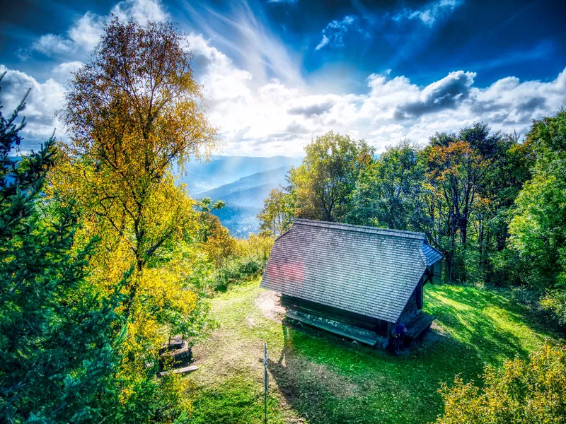
Hausach marks the halfway point of the Westweg trail. The Kinzig Valley is the heart of the Central Black Forest. Incidentally, nearby Gutach is the home of the famous Bollenhut hat. The stage is long and more strenuous than expected. Farrenkopf, Prechtaler Schanzen, Huberfelsen, and Karlstein have to be climbed, some of which are very steep and arduous ascents. From Karlstein, the Westweg remains at altitude and reaches Wilhelmshöhe with gentle ups and downs. Shortly after starting in Hausach, the first stop is at Husen Castle. From here, there is a beautiful view of the town and the Kinzig Valley. The keep and parts of the palace wall of the former Zähringer Castle tower prominently over the town. Built to protect the surrounding silver mines, it was destroyed by Weimar troops during the Thirty Years' War. Hikers now have to climb more than 500 meters, the last of which are very steep, to reach the Haseman hut on the Farrenkopf (789 m). The Westweg trail continues consistently along the sometimes surprisingly narrow ridge, heading more uphill than downhill towards the south. This adds up to a total of over 1,100 meters of elevation gain over the course of the route. An impressive daily achievement! Along the way, fortifications at Büchereck, Höchst, and Hirschlache bear witness to the turbulent times of the War of the Spanish Succession at the beginning of the 18th century. The Huberfelsen, a ship's bow-like rock covered with ash, birch, and rowan trees, offers a beautiful view of the Elz Valley. The highlight of this stage is the short rock path, secured with railings, up to the 25-meter-high granite block of Karlstein (964 m). Looking south, the individual farms surrounded by meadows lie like islands in the dark coniferous forest. Ten minutes further on, you can reward yourself for your efforts with a hearty snack at the "Schöne Aussicht" inn. The Westweg now remains at this altitude. The destination is near. Passing the "Zum Karlstein" restaurant, the stage ends at Wilhelmshöhe above the traditional winter sports resort of Schonach.
- Length
- 21.2 km
- Walking time
- approx. 7:45 h
- Ascent
- 1181 m
- Descent
- 448 m
Walking time as stated by the operator.
Elevation profile calculated by Fairvisit from satellite elevation data. Ascent and descent usually differ by up to about 10 %, more on steep terrain.
Start
Nearby
Along the way
Finish