Westweg · Stage 8
Westweg Stage 08: Wilhelmshöhe (Schonach) – Kalte Herberge
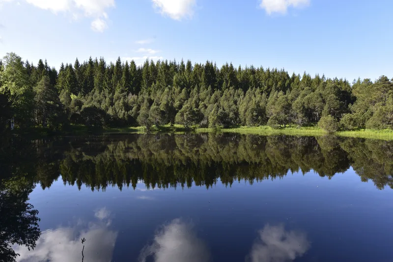
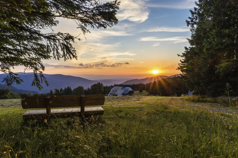
The gently undulating, broad ridge stretching from Rohrhardsberg to Brend and on to Lake Titisee forms one of the most imposing mountain ranges in the Central Black Forest. It also marks the European watershed between the Rhine and the Danube. As gently as the slopes rise from the east, so abruptly and wildly do the western flanks plunge down into the low-lying Simonswäldertal valley, offering magnificent views, especially at Brend. At Wilhelmshöhe, hikers pass through the massive portal formed by boulders. Passing the Wolfbauernhof farm with the Longinus Cross, the Westweg trail leads to Blindensee. The boardwalk through the raised bog is especially beautiful in the early morning, when the night’s dewdrops still cling to the cotton grass and the branches of the dwarf pines in the first light of day. Beyond the Weißenbacher Höhe, the trail crosses through the small valley of the Elz River to the main ridge between the Danube and the Rhine. Passing the small source of the Elz, you reach a spring of truly historical significance at St. Martin’s Chapel. Here, beneath a rock, the Breg River springs forth; it joins the Brigach near Donaueschingen to form the Danube. The short detour to the source of the Breg is a must for every Westweg hiker! Back on the trail, the Günterfelsen, located right along the path, is the next destination. The massive granite cliffs lie hidden in the middle of the forest. There’s no view here, but one awaits from the nearby observation tower on the Brend (1,149 m). The view to the west toward the massive Kandel and to the south toward the Feldberg, in particular, fuels anticipation for the upcoming stages. On especially clear days, you can even see nearly the entire Western Alps ridge from the Zugspitze to Mont Blanc. Note: Shortly after the Brend observation tower, the trail branches off toward “Artwood.” There, you can purchase a special Westweg T-shirt. See “Author’s Tip.” Alternating between forest and meadows, the Westweg continues along the European watershed to the Neueck. Here you’ll encounter the southern section of the B 500, which—like the Westweg—crosses the Black Forest from north to south. Running close to it, sometimes to the left, sometimes to the right, the trail passes the Hohlen Bildstöckle on its way to the Kalten Herberge.
- Length
- 22.0 km
- Walking time
- approx. 6:45 h
- Ascent
- 471 m
- Descent
- 425 m
Walking time as stated by the operator.
Elevation profile calculated by Fairvisit from satellite elevation data. Ascent and descent usually differ by up to about 10 %, more on steep terrain.
Start
Along the way
Finish