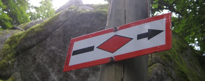
Westweg · Stage 5
Westweg Stage 05: Alexanderschanze - Hark
Forest, forest, forest. A lonely wooded ridge stretches from Alexanderschanze to Harkhof. The wounds left by Hurricane Lothar provide vantage points. There are some pretty gems along the way, such as Glaswaldsee, one of the "blue eyes" of the northern Black Forest. Steep rock faces lend the lake a mystical air. And not far from there is the Klagstein, which is said to have inexplicable indentations. Directly at the Alexanderschanze parking lot, the Westweg disappears into a narrow path in the thicket. Behind the Wolfursprung, the trail reaches the upper edge of the deeply carved Renchtal valley again. The trail now follows wide paths along the edge of the valley. At the Bauernkopf, there is a particularly beautiful view of the Rench Valley, Bad Griesbach, and the Black Forest mountains around the Mooskopf facing the Rhine. When the thermals are good, paragliders and hang gliders take off from here. Just a few steps later, you reach the Graseck crossroads. Here, the trail branches off to the Teufelkanzel, a rock formation with roofs and ledges that can be climbed on an alpine rock trail. The Westweg remains at the ridge height and passes the Hildahütte on a narrow forest path through a wonderfully quiet and unspoiled landscape to the Lettstädter Höhe (966 m). Below the wide plateau, the magnificent Glaswaldsee lake lies hidden in its cirque. If the view of the lake is not enough for you, descend 200 meters to the lake shore. On the descent to the deeply carved Freiersberg saddle, a ten-minute detour leads up to the mystical Klagstein, which towers high above the almost untouched Wildschapacher Valley above the treetops. A wonderful viewpoint and resting place! At Littweger Höhe, the Westweg trail switches to the south side of the ridge. It only leaves the deep forest again at the clearing near Harkhöhe. At Gasthaus Hark, far away from any towns or roads, you can end your Black Forest evening in peace and quiet by the fireplace in the parlor.
- Length
- 17.1 km
- Walking time
- approx. 5:30 h
- Ascent
- 388 m
- Descent
- 652 m
Walking time as stated by the operator.
Elevation profile calculated by Fairvisit from satellite elevation data. Ascent and descent usually differ by up to about 10 %, more on steep terrain.
Start
Freudenstadt-Kniebis (Alexanderschanze)
Along the way
Finish
Hark
Nearby