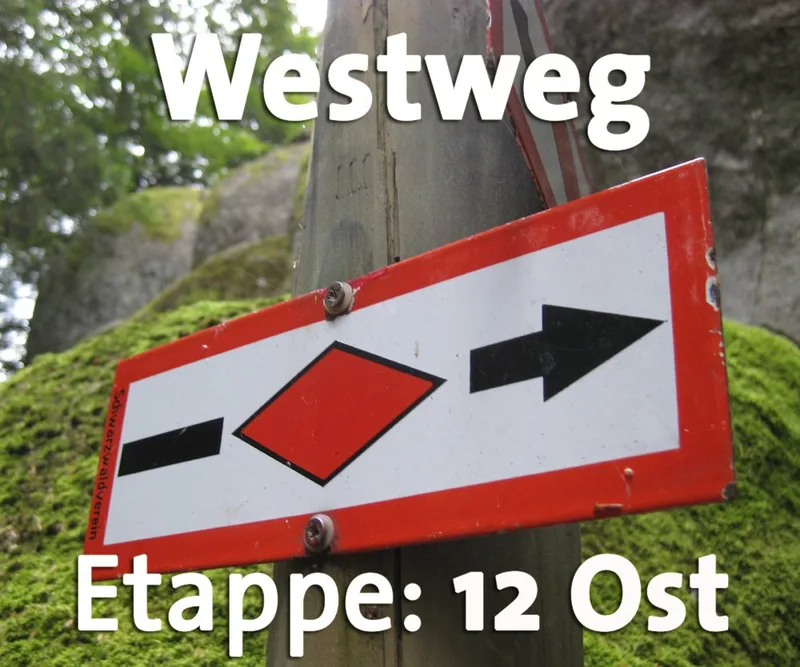
Westweg · Stage 12
Westweg Stage 12 (East): Schweigmatt – Oberminseln
From a geological perspective, the Dinkelberg is no longer part of the Black Forest. With its porous karst soil, it is a distinct, small mountain massif that features numerous unique landscape characteristics. The intensive agricultural use of the land—with forests, meadows, fruit trees, and fields—makes the hike along the long, stretched-out ridge of the Dinkelberg an entertaining experience, despite the often-wide farm roads. From Schweigmatt, steep trails lead first across mountain meadows and then through the beech forest down to the Schammernbach. On the outskirts of Hasel, the Westweg turns right and crosses the Entengraben, beyond which the Dinkelberg proper begins, with its fields, meadows, and orchard meadows. The trail now leads through a landscape characterized by numerous, sometimes steep depressions in the ground. These are the remnants of dolines—collapse cones formed by cavities beneath the porous karst terrain. After crossing the federal highway, you reach Eichener Lake—if it’s even visible. This is because Eichener Lake is a temporary karst lake that is fed by irregular groundwater flows, regardless of weather conditions. The trail then follows the ridge of the Dinkelberg, sometimes across meadows and past orchards, then through the forest again. Finally, after a short, steep ascent, you reach the highest point of the limestone massif: the Hohe Flum (536 m). From the observation tower, the view stretches across the surrounding orchard meadows to the nearby Wiesental or Rheintal valleys, as well as back toward the Hohe Mür, which now appears far away. The trail then descends to Oberminseln.
- Length
- 20.2 km
- Walking time
- approx. 6:00 h
- Ascent
- 243 m
- Descent
- 592 m
Walking time as stated by the operator.
Elevation profile calculated by Fairvisit from satellite elevation data. Ascent and descent usually differ by up to about 10 %, more on steep terrain.
Start
Schweigmatt
Along the way
Finish
Degerfelden
Nearby