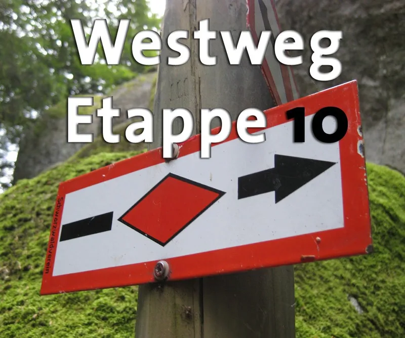
Westweg · Stage 10
Westweg: Stage 10 West (Hinterzarten - Wiedener Eck)
The queen stage of the Westweg is without doubt the crossing of the Feldberg from east to west. Up at the wind-lashed summit, the highest point in the German Central Uplands, not only Westweg hikers are filled with a pleasant sense of conquering the summit. Some would gladly linger longer and enjoy the magnificent panoramic view, if only there were not still the long way to Wiedener Eck. From Oberzarten, the Westweg first follows the romantic Zartenbach Valley. Signposts point to a short detour to the pretty Mathisleweiher, once a log-driving pond. Slowly ascending, the clearing "Am Feldberg" is reached, where individual forest farmsteads stand. At Rufenholzplatz, the path begins to climb more noticeably. The forest track gradually becomes an alpine trail through primeval spruce forest. Along the ridge of the immense walls of the Feldseekar, the forest occasionally affords views of the green-shimmering Feldsee far below. Above the tree line, the trail climbs through the Grüble, where snow can still lie even in summer, into the broad saddle between Seebuck on the left and the Feldberg summit on the right. A good twenty minutes later, "the highest" in the Black Forest is reached. The viewing platform on the 1,495-meter Feldberg marks the highest point in Germany outside the Alps. Accordingly, on a clear day the 360-degree panoramic view is spectacular: to the north and east, the heights of the Black Forest fade into the horizon; to the west, the Vosges seem to hover above the Upper Rhine Plain; but the highlight is the broad Alpine panorama to the south. As a narrow path with steep steps, the Westweg descends to St. Wilhelmer Hut, from which it follows the connecting mountain ridge to Belchen. The bare and elongated crest of Stübenwasen (1,386 m) impresses with a magnificent Alpine panorama. Beyond the Notschrei pass, the trail climbs once more, circles Trubelsmattkopf, and reaches Wiedener Eck via open meadow slopes.
- Length
- 26.3 km
- Walking time
- approx. 8:30 h
- Ascent
- 817 m
- Descent
- 688 m
Walking time as stated by the operator.
Elevation profile calculated by Fairvisit from satellite elevation data. Ascent and descent usually differ by up to about 10 %, more on steep terrain.
Start
Nearby
Along the way
Finish
Nearby