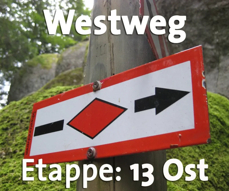
Westweg · Stage 13
Westweg Stage 13 (East): Oberminseln – Basel
On the final leg, hikers can look forward to two more scenic highlights: the wild and romantic Ruschbach Valley and the unique Buchswald forest near Grenzach-Wyhlen. Here, the otherwise gentle Dinkelberg reveals its wild side. Steep slopes, rocks, and slippery gorges provide an intense experience of nature before the city of art and culture, Basel, brings the hike to a close. The descent from Oberminseln to Degerfelden leads through quiet stream valleys, over ridges with panoramic views, and along varied forest edges. The ruins of the Roman estate near Degerfelden bear witness to the fact that the Romans already appreciated the Dinkelberg’s formidable nature over 2,000 years ago. The Großbach stream in Degerfelden accompanies hikers all the way to the historic village center. Through a sparse beech forest dotted with rocks, the Westweg winds its way from Degerfelden up narrow paths to the Eigenturm. From here, the view stretches across the Upper Rhine near Rheinfelden all the way to the nearby Swiss Jura Mountains. Past Rührberg, the Westweg takes a sharp left turn just before the Swiss border and leads down to Wyhlen. The route through the Ruschbach Valley is highly recommended in dry weather. The Grenzach Boxwood Forest begins on the outskirts of Wyhlen. It is unique in Germany. The entire slope up to the Hornfelsen, high above the Grenzacher Horn, is covered on its lower level with evergreen boxwood trees up to five meters tall. Above that, downy oaks, maples, and beeches form a natural canopy. The boxwood trees, which were likely brought here by the Romans, thrive in the dry, warm climate of this steep slope. The Westweg winds its way up and down as a narrow trail through the thicket of the boxwood forest. Sure-footedness is absolutely essential on the steep sections. Passing the Rötelstein rock and along narrow rocky ledges, the trail leads up to the summit before descending toward Grenzach. The final highlight is the Grenzacher Horn rock formation. High above the Rhine, the view sweeps out over the facilities of the Birsfeld Harbor and across to Basel. After a steep, zigzagging descent, the Westweg reaches the outskirt of Grenzach-Wyhlen and, shortly thereafter, the outskirts of Basel behind the customs station. The route now follows the banks of the Rhine to the Tinguely Museum at the Schwarzwaldbrücke and from there along Schwarzwaldstraße to the destination at the Badischer Bahnhof.
- Length
- 23.9 km
- Walking time
- approx. 7:45 h
- Ascent
- 604 m
- Descent
- 718 m
Walking time as stated by the operator.
Elevation profile calculated by Fairvisit from satellite elevation data. Ascent and descent usually differ by up to about 10 %, more on steep terrain.
Start
Degerfelden
Nearby
Along the way
Finish
Basel
Nearby