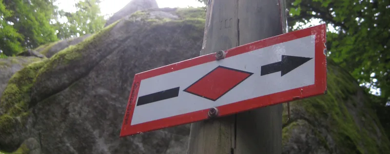
Westweg · Stage 3
Westweg Stage 03: Forbach – Unterstmatt
The Black Forest’s main ridge beckons! On its third stage, the Westweg winds its way through the Badener Höhe and Hochkopf, venturing into the highest regions of the Northern Black Forest. The climate becomes noticeably harsher, the mountains steeper, and the trails more rugged. The Herrenwieser See lies enchanted, surrounded by a fairy-tale forest. And along the Schwarzwaldhochstraße, the Westweg is at its best—offering views of the Rhine Valley. From the historic wooden bridge over the Murg, the Westweg leads straight through Forbach’s old town. Passing the Maria-Hilf Chapel, it climbs through one of the romantic, tranquil hay-shed valleys. The first climb, with an elevation gain of over 450 meters to Wegscheid, really gets your legs working early in the morning. On the gentle descent down to the Schwarzenbach Dam, your calves can relax again. The reservoir, the largest lake in the Northern Black Forest, feeds the Forbach pumped-storage power plant, whose massive pressure pipelines down into the Murg Valley are just a short detour from the Westweg. Another 350 meters of elevation gain completes the long climb out of the Murg Valley up to the first “thousanders” of the Northern Black Forest. The steep, rocky trail up to the Seekopfs (1,001 m) passes by the tranquil Herrenwieser See, whose 170-meter-high Karwand is considered the highest in the Northern Black Forest. At the memorial stone for Philipp Bussemer, one of the two pioneers of the Black Forest Association who helped mark the Westweg for the first time, a quiet little bench beneath the rhododendrons invites you to take a break. Just one meter higher is the Badener Höhe (1,002 m) with the Friedrichsturm, visible from afar. At the Kurhaus Sand—one of numerous once-magnificent, now slowly decaying mountain hotels—the Westweg meets the Schwarzwaldhochstraße, which it follows all the way to the Hundseck. A final ascent takes hikers to the Hochkopf, the first Grinden peak on the Westweg. The trail leads down through a rustic landscape of raised bogs and heathland to the Kurhaus Unterstmatt.
- Length
- 19.6 km
- Walking time
- approx. 7:00 h
- Ascent
- 1008 m
- Descent
- 382 m
Walking time as stated by the operator.
Elevation profile calculated by Fairvisit from satellite elevation data. Ascent and descent usually differ by up to about 10 %, more on steep terrain.
Start
Forbach
Nearby
Along the way
Finish
Unterstmatt (Bühl)