Westweg · Stage 2
Westweg Stage 02: Dobel – Forbach
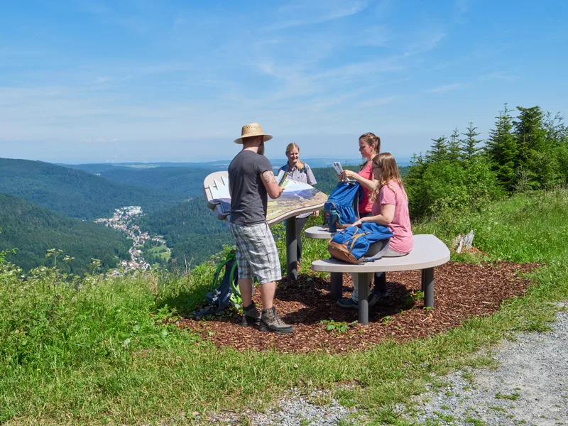
The second stage showcases the typical landscapes of the northern Black Forest in a single day: lush coniferous forests, magnificent views, moorland hilltops, and deeply carved river valleys. The gentle climb from Dobel to Kaltenbronn is dotted with numerous viewpoints, most of which owe their existence to the force of Hurricane Lothar (Christmas 1999). The trail descends via steep, rocky paths past the Latschigfelsen rock formation into the wild Murg Valley to Forbach. At the outskirts of Dobel, the Westweg trail plunges back into the deep coniferous forests. It climbs gently over the ridge between Alb and Eyach towards Kaltenbronn. The Westweg always runs below the ridge line, first to Weithäuslesplatz, then through the Schweizerkopf with its panoramic views to the Hahnenfalzhütte. At the Langmartskopfhütte, it reaches the Kaltenbronn plateau. Magnificent views of the Murg Valley accompany the Westweg to the Kreuzlehütte, where it crosses the Old Wine Route and heads for the Kaltenbronn inn. At the beginning of the 20th century, the Kaltenbronn was the favorite recreational destination and hunting ground of Grand Duke Friedrich I of Baden; today, skiers and cross-country skiers flock here in winter. The Kaltenbach stream, which babbles merrily over large granite boulders, accompanies the Westweg trail up to Lake Hohloh, a small high moor lake. The boardwalk leads directly to the Hohloh Tower, which the Black Forest Association built in 1897 on the highest point of the extensive high plateau at 988 meters. After a steep descent, the full difference in altitude to the Murg Valley is revealed from the pulpit of the Latschigfelsen rock. The Murg has carved out a deep rocky canyon. In the Kauersbach Valley above Gausbach stand the characteristic wooden hay huts brought by immigrants from Tyrol. The mowed grass could dry in them, and in winter the farmers brought it down to the valley on sleds. The panoramic trail above Gausbach shows the lovely side of the Murg Valley before the stage ends at the historic wooden bridge in Forbach.
- Length
- 25.9 km
- Walking time
- approx. 8:15 h
- Ascent
- 547 m
- Descent
- 943 m
Walking time as stated by the operator.
Elevation profile calculated by Fairvisit from satellite elevation data. Ascent and descent usually differ by up to about 10 %, more on steep terrain.
Start
Dobel
Nearby
Along the way
Finish
Forbach
Nearby