Weser cycle path, 7th stage: From Bremen to Nordenham/Bremerhaven
Bremen → Nordenham/Bremerhaven
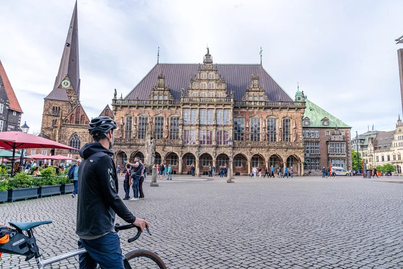
From Bremen's Weser promenade, cycle past the Beck & Co brewery, along the Neustädter harbor, and over the Ochtum flood barrier into the Wesermarsch, one of the largest contiguous grassland regions in Europe. Between Lemwerder and Berne, the influence of traditional shipyards prevails. Cyclists on the Weser cycle path reach the seafaring town of Elsfleth via the Hunte bridge.
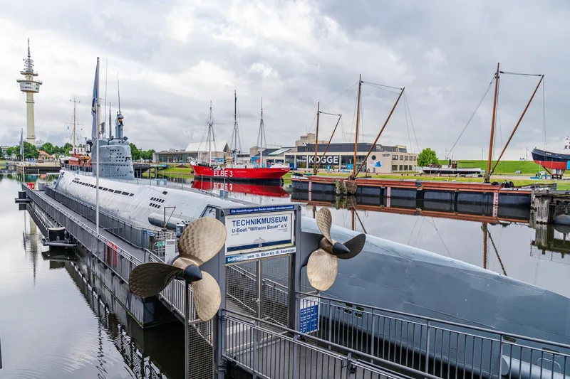
Further north in the port city of Brake, you immerse yourself in the significant maritime past. From Brake, follow the heavily raised dyke to Rodenkirchen, where a look into St. Matthew's Church is worthwhile. Upon arrival at the train station in Nordenham, a detour to the pedestrian zone is recommended before you take the ferry from the district of Blexen to the other Weser side.
Length
78.1 km
Walking time
approx. 19:45 h
Ascent
63 m
Descent
63 m
Walking time without breaks, calculated from length and elevation using the hiking standard DIN 33466 (per hour: 4 km, 300 m uphill, 500 m downhill).
Elevation profile
10 m
18 km34 km49 km0 km78 km
Elevation profile calculated by Fairvisit from satellite elevation data. Ascent and descent usually differ by up to about 10 %, more on steep terrain.
Start
Coordinates53.08554, 8.75257
Bremen
Along the way
Finish
Coordinates53.51874, 8.53411
Nordenham/Bremerhaven
Image rights: Weser-Radweg Infozentrale, Maximilian Semsch · CC BY-SA 4.0
Image rights: Weser-Radweg Infozentrale, Maximilian Semsch · CC BY-SA 4.0
Image rights: Weser-Radweg Infozentrale, Maximilian Semsch · CC BY-SA 4.0
Image rights: Weser-Radweg Infozentrale, Weserbergland Tourismus e.V. · CC BY-SA 4.0
Image rights: (c)floriantrykowski.de, Florian Trykowski · CC BY 4.0
Image rights: Weser-Radweg Infozentrale, Maximilian Semsch · CC BY-SA 4.0
Image rights: Weser-Radweg Infozentrale, Maximilian Semsch · CC BY-SA 4.0
Image rights: Weser-Radweg Infozentrale, Maximilian Semsch · CC BY-SA 4.0
Image rights: Weser-Radweg Infozentrale, Maximilian Semsch · CC BY-SA 4.0
Image rights: Weser-Radweg Infozentrale, Maximilian Semsch · CC BY-SA 4.0
Image rights: Weser-Radweg Infozentrale, Maximilian Semsch · CC BY-SA 4.0
Image rights: Weser-Radweg Infozentrale, Maximilian Semsch · CC BY-SA 4.0
Image rights: Weser-Radweg Infozentrale, Maximilian Semsch · CC BY-SA 4.0
Saved
Fairvisit teamOffline
Hi there!
A question or some feedback? Drop us a line – we'd love to hear from you.
We're offline right now.
Leave us a message and we'll get back to you by email:
Thanks! We've got your message and will reply by email.