Todtmoos - Hauptstraße → Wehr - Zielstation beim Alten und Neuen Schloss
The final stage from Todtmoos through the Wehr Gorge begins gently and pleasantly. In the valley floor, the valley sides draw closer together and become steeper and rockier, and the path narrower.
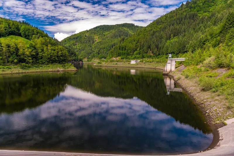
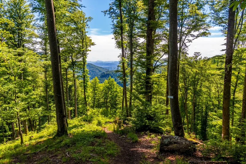
The final stage from Todtmoos through the Wehr Gorge initially begins gently and pleasantly. Behind the babbling hamlet of Schwarzenbach, the Schluchtensteig then leads through a lively mixed forest. Once you reach the valley floor, you cross the rushing waters of the Wehra. The mighty rock walls of the Bannwald rise up to 200 meters above the river roaring far below. Here you can see how the forest develops without human intervention. Again and again, breathtaking views down into the depths or sweeping panoramas across to the other side of the valley open up. With a bit of luck, you may spot a few shy chamois as they elegantly climb the steep walls. At the idyllic rest area by the Mettler Hut, you have one more chance to fully enjoy the magnificent long-distance views as far as the Swiss Alps. Gradually, the trail then loses altitude until you cross the impressive dam wall of the Wehra Reservoir. Afterwards, a relaxed end to your tour follows along the babbling river, past the inviting swimming pool, which invites you to cool off after the demanding, long tour, until you reach your final destination in the castle park. There, the Old and New Castle of the Lords of Schönau stand proudly in the heart of the historic weaving and textile town.
Length
22.8 km
Walking time
approx. 8:30 h
Ascent
832 m
Descent
1297 m
Walking time as stated by the operator.
Elevation profile
400 m600 m800 m
15 km0 km23 km
Elevation profile calculated by Fairvisit from satellite elevation data. Ascent and descent usually differ by up to about 10 %, more on steep terrain.
Start
Coordinates47.73944, 8.00056
Todtmoos - Hauptstraße
Nearby
Along the way
Finish
Coordinates47.62441, 7.90451
Wehr - Zielstation beim Alten und Neuen Schloss
Nearby
Image rights: Landkreis Waldshut · CC BY-SA 4.0
Image rights: Landkreis Waldshut · CC BY-SA 4.0
Image rights: Landkreis Waldshut - Klaus Hansen · CC BY-SA 4.0
Image rights: Landkreis Waldshut · CC BY-SA 4.0
Image rights: Landkreis Waldshut · CC BY-SA 4.0
Image rights: Landkreis Waldshut · CC BY-SA 4.0
Image rights: Landkreis Waldshut · CC BY-SA 4.0
Image rights: Landkreis Waldshut · CC BY-SA 4.0
Image rights: Landkreis Waldshut · CC BY-SA 4.0
Image rights: Landkreis Waldshut - Klaus Hansen · CC BY-SA 4.0
Image rights: Landkreis Waldshut · CC BY-SA 4.0
Saved
Fairvisit teamOffline
Hi there!
A question or some feedback? Drop us a line – we'd love to hear from you.
We're offline right now.
Leave us a message and we'll get back to you by email:
Thanks! We've got your message and will reply by email.