Schluchtensteig Stage 5 from St. Blasien to Todtmoos
St. Blasien → Todtmoos
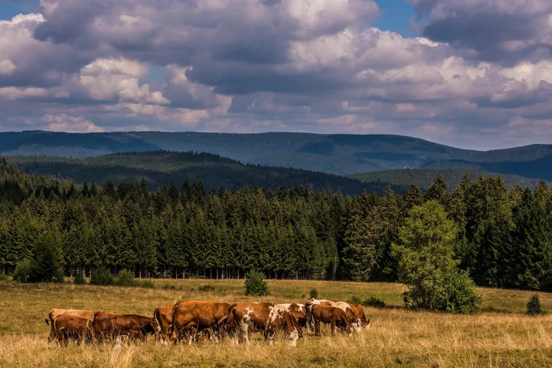
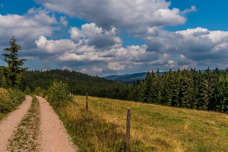
Narrow paths through the typical open landscape of the Hotzenwald, with its mountain meadows and views as far as the Alps, and the Hohwehraschlucht gorge give Stage 5 its appeal.
You start your stage in the spa park of St. Blasien, and after just a few minutes you tackle the first ascent to the 1,039-meter Lehenkopf.
After the Lusthausfelsen, one last impressive panorama opens up before you: the imposing cathedral, the huge monastery complex, and the charming spa town.
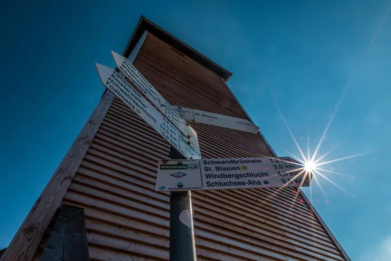
From the wooden observation tower on the Lehenkopf, you will be richly rewarded for your efforts: breathtaking long-distance views stretch as far as the highest point of the Black Forest – the Feldberg – and in the south even to the Alps.
From Dachsberg, the trail enters the characteristic open landscape of the Hotzenwald.
Here, species-rich mountain meadows protected as nature reserves glow, interspersed with a colorful carpet of wildflowers, and again and again new panoramic views open up to the Swiss Alps.
From the tranquil Klosterweiher, the path leads up onto the broad plateau to the Kreuzfelsen, which attracts visitors with a shelter hut and a magnificent view, before continuing on to Ibach.
After the Ibacher Kreuz, the landscape changes once again.
The Schluchtensteig winds steeply down in zigzag curves into the Hohwehraschlucht gorge, directly to the gates of the historic pilgrimage and spa town of Todtmoos.
Length
18.9 km
Walking time
approx. 6:00 h
Ascent
540 m
Descent
493 m
Walking time as stated by the operator.
Elevation profile
800 m1,000 m
6.5 km15 km0 km19 km
Elevation profile calculated by Fairvisit from satellite elevation data. Ascent and descent usually differ by up to about 10 %, more on steep terrain.
Start
Coordinates47.76091, 8.13105
St. Blasien
Nearby
Along the way
Finish
Coordinates47.73951, 8.00103
Todtmoos
Nearby
Image rights: Landkreis Waldshut · CC BY-SA 4.0
Image rights: Landkreis Waldshut · CC BY-SA 4.0
Image rights: Landkreis Waldshut · CC BY-SA 4.0
Image rights: Landkreis Waldshut - Klaus Hansen · CC BY-SA 4.0
Image rights: Landkreis Waldshut - Markus Balkow · CC BY-SA 4.0
Image rights: Landkreis Waldshut · CC BY-SA 4.0
Image rights: Landkreis Waldshut · CC BY-SA 4.0
Image rights: Landkreis Waldshut - Markus Balkow · CC BY-SA 4.0
Image rights: Landkreis Waldshut · CC BY-SA 4.0
Image rights: Landkreis Waldshut · CC BY-SA 4.0
Saved
Fairvisit teamOffline
Hi there!
A question or some feedback? Drop us a line – we'd love to hear from you.
We're offline right now.
Leave us a message and we'll get back to you by email:
Thanks! We've got your message and will reply by email.