Saar-Hunsrück-Steig · Stage 9 of 27
Saar-Hunsrück Trail - Stage 09: Nonnweiler – Börfink/Einschieder Hof
Talsperre Nonnweiler → Börfink/Einschieder Hof
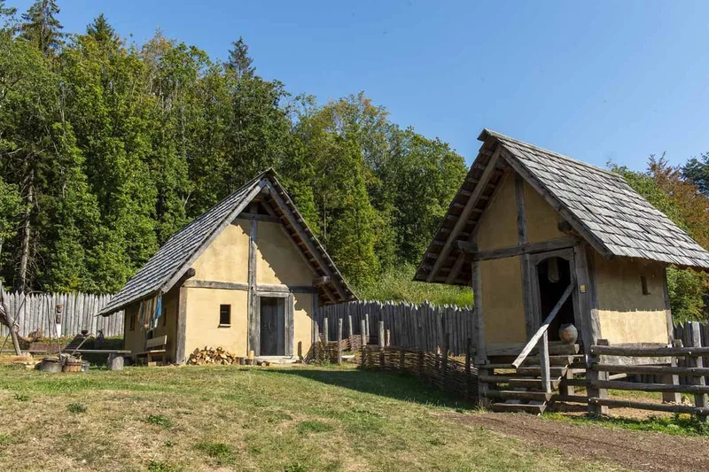
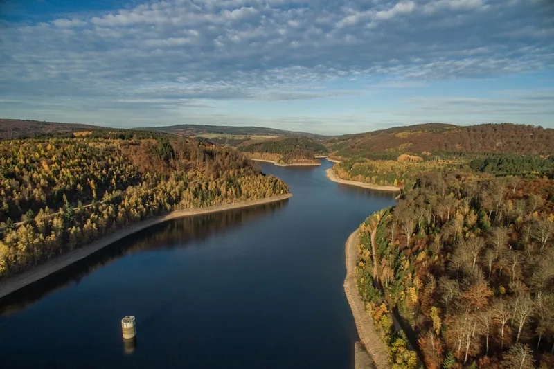
The stage starts in Nonnweiler at the reservoir and soon reaches one of the highlights of the tour, the Celtic ring wall in Hunsrück-Hochwald National Park, with a view of the reservoir below. It then continues through beautiful forest sections over the summit at Dollberg to Börfink/Einschieder Hof!
- Length
- 13.7 km
- Walking time
- approx. 4:15 h
- Ascent
- 361 m
- Descent
- 221 m
Walking time as stated by the operator.
Elevation profile
600 m
5.4 km
0 km
13 km
Elevation profile calculated by Fairvisit from satellite elevation data. Ascent and descent usually differ by up to about 10 %, more on steep terrain.
Start
Coordinates
49.61309, 6.97637
Talsperre Nonnweiler
Nearby
Along the way
Finish
Coordinates
49.68489, 7.07102
Börfink/Einschieder Hof