Skip to content

Long-distance trail

Saar-Hunsrück-Steig

About 410 km hiking trail from Perl on the Moselle across the Hunsrück to Boppard on the Rhine, in 27 stages including a branch to Trier.

Stages
27
Total distance
about 410 km

The map shows the whole trail. So far 8 of the 27 stages are described individually; the trail operator has not published the others openly.

Stages

Start Finish

Perl → Hellendorf

Stage 1

From the wine town of Perl to Hellendorf, with wide views over the tri-border area Germany-Luxembourg-France and past the archaeological park Roman Villa Borg, runs the first stage of the award-winning long-distance hiking trail.

17.0 km approx. 5:00 h Point-to-point Hiking
View details
Ascent
375 m
Descent
227 m
Elevation profile 221–386 m
200 m 400 m 600 m
221 m 7.4 km 0 km 17 km
Source: (c) Saarland / Joanna Czyrny · CC BY 4.0 Open route description (external link)

Source: Joanna Czyrny · CC BY 4.0
From Hellendorf

Stage 2

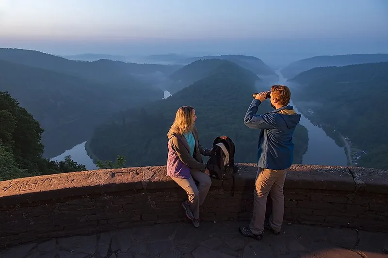
Highlights of this stage are the Cloef viewpoint and the treetop path with views of the Saarschleife as well as the ceramics town of Mettlach.

18.6 km approx. 5:30 h Point-to-point Hiking
View details
Ascent
246 m
Descent
462 m
Elevation profile 159–419 m
200 m 400 m 600 m
419 m 3.9 km 406 m 11 km 0 km 19 km
Source: (c) Saarland / Joanna Czyrny · CC BY 4.0 Open route description (external link)

Source: Joanna Czyrny · CC BY 4.0
Fußgängerzone Mettlach → Britten

Stage 3

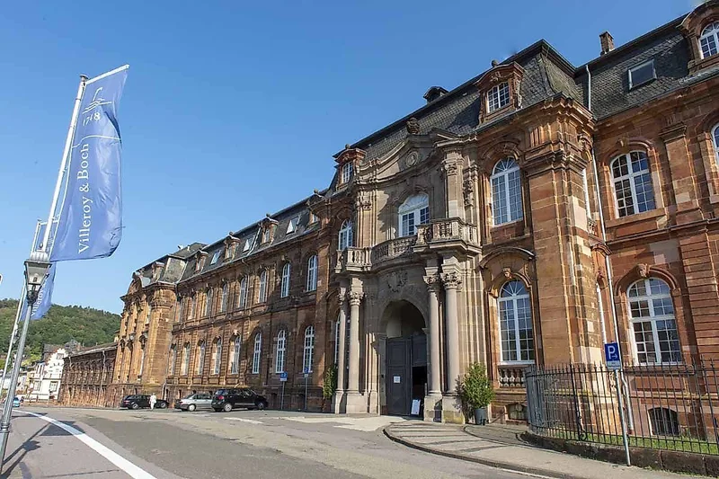
Varied stage route from Mettlach to Britten via the Saarhölzbach valley with magnificent views of the Saar valley and Mettlach.

10.9 km approx. 3:30 h Point-to-point Hiking
View details
Ascent
352 m
Descent
80 m
Elevation profile 160–432 m
200 m 400 m 600 m
321 m 4.8 km 0 km 11 km
Source: (c) Saarland / Joanna Czyrny · CC BY 4.0 Open route description (external link)

Source: Joanna Czyrny · CC BY 4.0
From Britten

Stage 4

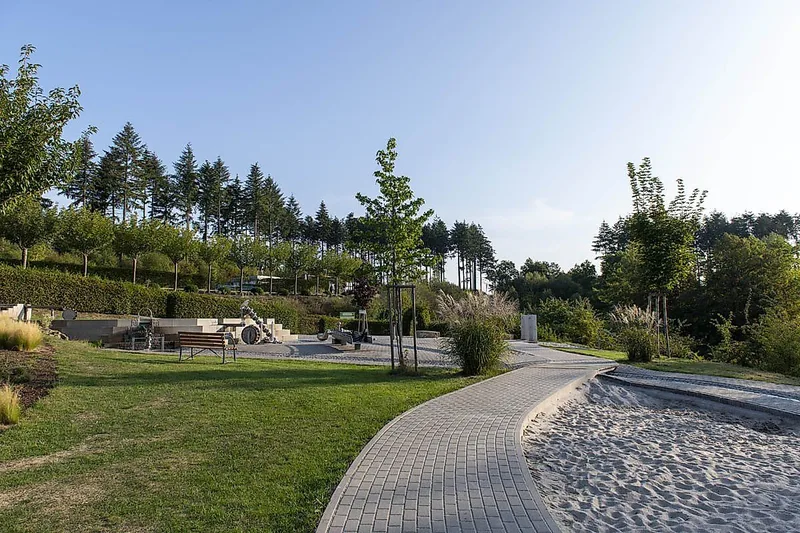
From Britten over Bergen to the reservoir in Losheim

11.8 km approx. 3:45 h Point-to-point Hiking
View details
Ascent
225 m
Descent
313 m
Elevation profile 317–495 m
200 m 400 m 600 m
495 m 5.0 km 0 km 12 km
Source: (c) Saarland / Joanna Czyrny · CC BY 4.0 Open route description (external link)

Source: Joanna Czyrny · CC BY 4.0
Stausee Losheim → Weiskirchen

Stage 5

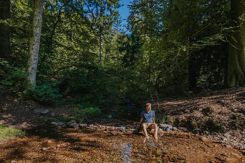
From the Losheim reservoir over Waldhölzbach to the spa town of Weiskirchen.

15.3 km approx. 5:00 h Point-to-point Hiking
View details
Ascent
435 m
Descent
339 m
Elevation profile 328–606 m
200 m 400 m 600 m
488 m 3.3 km 584 m 7.8 km 606 m 12 km 0 km 15 km
Source: (c) Saarland / Joanna Czyrny · CC BY 4.0 Open route description (external link)

Source: Joanna Czyrny · CC BY 4.0
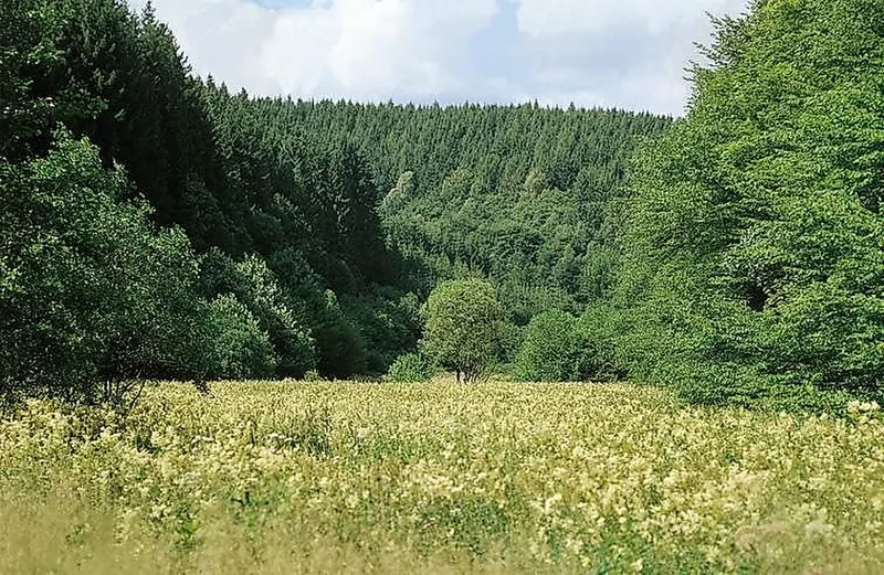
From Weiskirchen

Stage 6

Today's stage takes us away from civilization, mostly on lonely paths through a very varied and atmospheric forest landscape with numerous streams.

17.4 km approx. 5:30 h Point-to-point Hiking
View details
Ascent
458 m
Descent
498 m
Elevation profile 365–527 m
200 m 400 m 600 m
383 m 5.7 km 406 m 11 km 0 km 17 km
Source: (c) Saarland / Joanna Czyrny · CC BY 4.0 Open route description (external link)

Source: Joanna Czyrny · CC BY 4.0
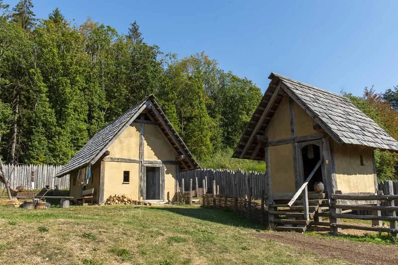
Stage 8

After a shorter stage, this route returns to Saarland via Hermeskeil to the Nonnweiler Dam and the Celtic Park in Otzenhausen! From Reinsfeld past Hermeskeil to Nonnweiler

17.5 km approx. 5:15 h Point-to-point Hiking
View details
Ascent
351 m
Descent
419 m
Elevation profile
200 m 400 m 600 m
5.5 km 11 km 0 km 17 km

Elevation profile calculated by Fairvisit from satellite elevation data. Ascent and descent usually differ by up to about 10 %, more on steep terrain.

Source: Frank Polotzek · CC BY 4.0

Talsperre Nonnweiler → Börfink/Einschieder Hof

Stage 9

The stage starts in Nonnweiler at the reservoir and soon reaches one of the highlights of the tour, the Celtic ring wall in Hunsrück-Hochwald National Park, with a view of the reservoir below. It then continues through beautiful forest sections over the summit at Dollberg to Börfink/Einschieder Hof!

13.7 km approx. 4:15 h Point-to-point Hiking
View details
Ascent
361 m
Descent
221 m
Elevation profile
200 m 400 m 600 m
5.4 km 0 km 13 km

Elevation profile calculated by Fairvisit from satellite elevation data. Ascent and descent usually differ by up to about 10 %, more on steep terrain.

Source: Frank Polotzek · CC BY 4.0

Elevation data

produced using Copernicus WorldDEM-30 © DLR e.V. 2010-2014 and © Airbus Defence and Space GmbH 2014-2018 provided under COPERNICUS by the European Union and ESA; all rights reserved

The organisations in charge of the Copernicus programme by law or by delegation do not incur any liability for any use of the Copernicus WorldDEM-30.

Saved