Neckarsteig · Stage 7 of 9
Neckarsteig - Stage 7: Neckargerach to Mosbach
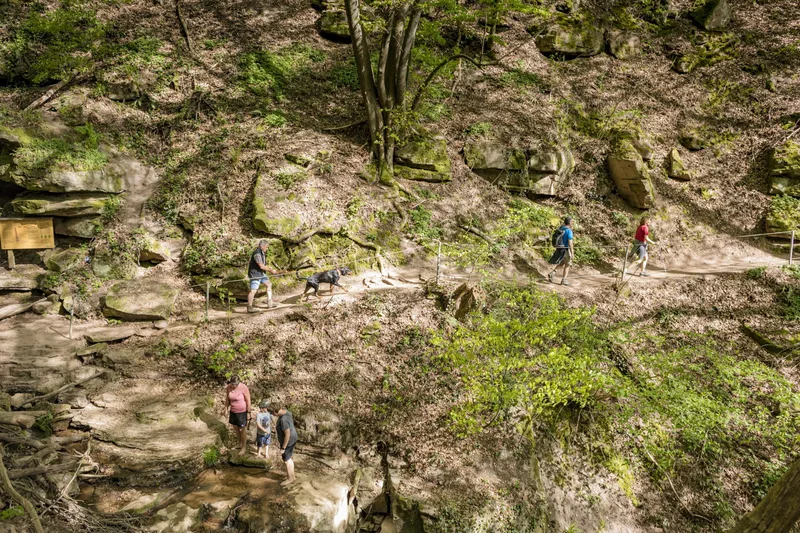
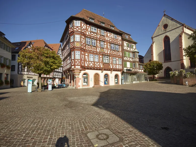
Over 13.6 km, this Neckarsteig stage takes you from Neckargerach via Margaretenschlucht to Mosbach. The Margaretenschlucht Trail is equipped with numerous information boards about geology. The hiking route runs along the railway line above, with wonderful views of the Neckar Valley and of Mittelberg, all the way to the entrance of Margaretenschlucht. It is recommended to pass through Margaretenschlucht in good weather. In rain or cold temperatures, delays can be expected, as water-rich sections have to be crossed again and again. It should also be noted that the hiking trail leads over rock steps along dangerous steep cliffs. The gorge has been under nature protection since 1940. The smaller Ludolfsklinge gorge also blends into the landscape. The Hamberg, Henschelberg and Schreckberg areas are characterized above all by species-rich meadow and juniper heaths, striking rock ledges and scree slopes, as well as richly structured forest edges and bushes. The diversity of the cultural landscape on the shell limestone soils was shaped by its former use as fields, vineyards, meadows and pastures. On the slopes, dry-stone walls made of limestone or red sandstone were once built to support the cultivation terraces. Today, the walls provide a habitat for specialized animal and plant species. Mosbach's historic old town is characterized by lovingly restored half-timbered houses and medieval streets.
- Length
- 13.6 km
- Walking time
- approx. 4:15 h
- Ascent
- 346 m
- Descent
- 352 m
Walking time as stated by the operator.
Elevation profile calculated by Fairvisit from satellite elevation data. Ascent and descent usually differ by up to about 10 %, more on steep terrain.
Start
Bahnhof Neckargerach
Along the way
Finish
Tourist Information Mosbach
Nearby