Neckarsteig · Stage 6 of 9
Neckarsteig - Stage 6: Neunkirchen to Neckargerach
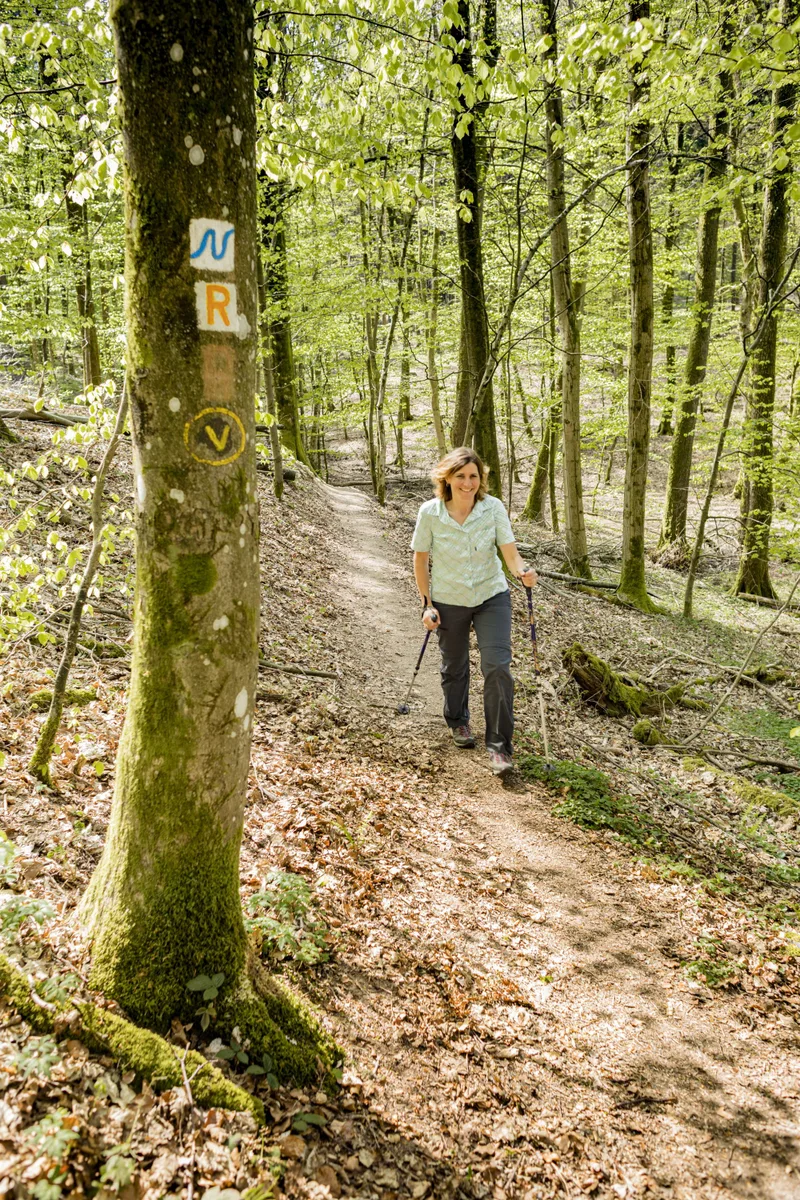
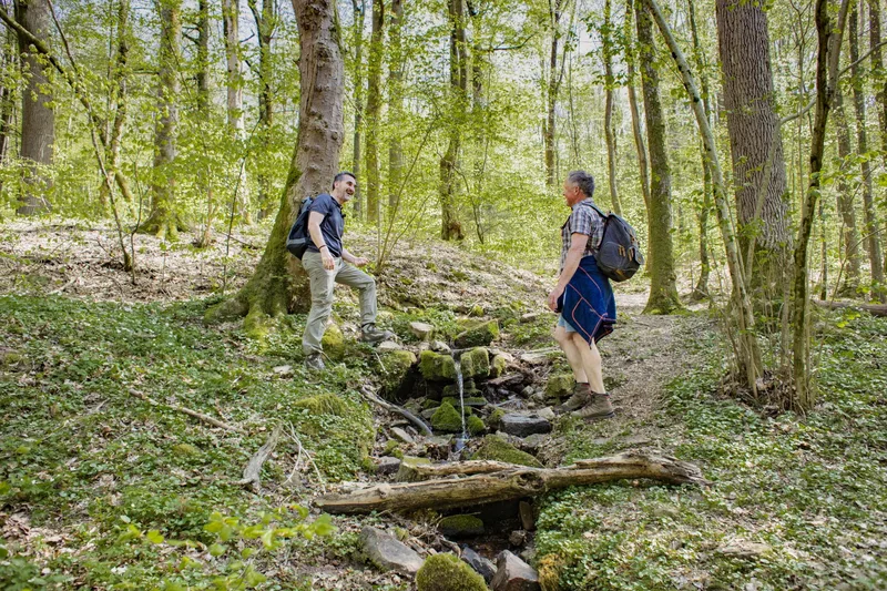
This stage covers around 18 km from Neunkirchen via Neckarkatzenbach into the Neckar Valley to Neckargerach. Magnificent mixed deciduous forests characterize the landscape. Opposite Neckargerach, the Minneburg rises on a wooded hillside. It owes its present form to the expansion in the first half of the 16th century. Today it is an imposing ruin and a popular excursion destination. From here, there is a beautiful view of the Neckar Valley. Two barbecue areas at the castle invite you to linger longer. The Mittelberg, Geotope of the Year 2018, was an incised meander hill before the Neckar broke through around 200,000 years ago and the former riverbed dried up. The former river loop is clearly visible in the landscape. Especially from the hill near Neckarkatzenbach, the “Linde viewpoint,” you can see the former original Neckar loop and get a sense of the development of such a river course. The small municipality of Neckarkatzenbach impresses with its idyllic location and the view of the Mittelberg. In Guttenbach, you walk directly along the towpath on the bank of the Neckar. A bridge for hikers, cyclists, and motorists connects Neckargerach with Guttenbach. Here, on the Neckarsteig, you cross to the other side of the river.
- Length
- 18.1 km
- Walking time
- approx. 5:15 h
- Ascent
- 221 m
- Descent
- 404 m
Walking time as stated by the operator.
Elevation profile calculated by Fairvisit from satellite elevation data. Ascent and descent usually differ by up to about 10 %, more on steep terrain.
Start
Neunkirchen Ortsrand
Nearby
Along the way
Finish
Bahnhof Neckargerach
Nearby