Neckarsteig · Stage 1 of 9
Neckarsteig - Stage 1: Heidelberg to Neckargemünd
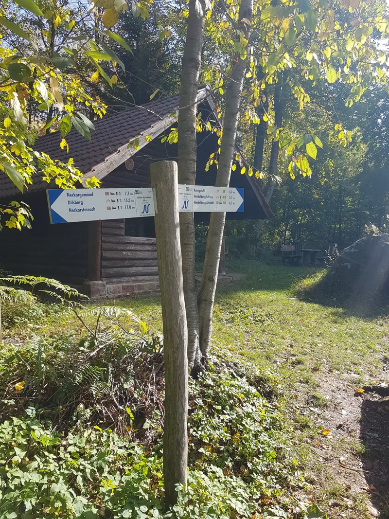
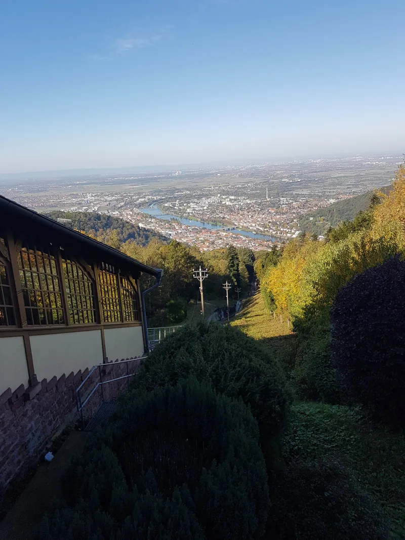
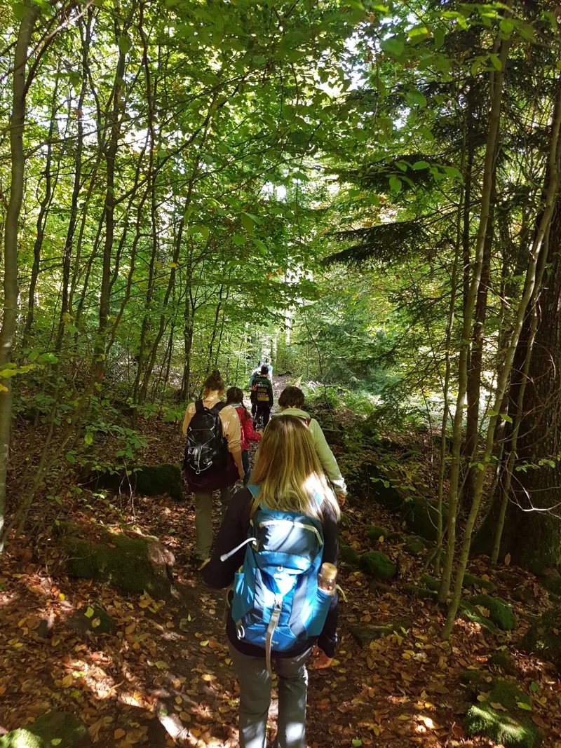
Hike from Heidelberg to Neckargemünd over around 13 km. You can begin or end the hike in Heidelberg's Old Town; the official starting or finishing point is the "Himmelsleiter" on Molkenkurweg above Heidelberg Castle. The Himmelsleiter, around 1,200 roughly hewn sandstone steps, connects the castle with Königstuhl. Anyone wishing to avoid the climb can also comfortably take the mountain railway up to Königstuhl and start the hike from there. From Königstuhl, at an altitude of 559 m, you can, in good weather, see across the Upper Rhine Plain to the Palatinate Forest. The route between Königstuhl and Neckargemünd repeatedly goes up and down. Forest tracks and narrow paths characterize the trail surface. About halfway along, the Rasthütte at Hohlen Kästenbaum invites you to take a break. From the beautifully situated Gämsberg Pavilion, there is a wonderful view of the bend in the Neckar as far as Dilsberg Castle Fortress. The trail leads over Neckarriedkopf with the shelter of the same name, from which you can look over Dilsberg. The Neckarriedkopf Hut is waking from its Sleeping Beauty slumber and is open on weekends and public holidays. A narrow path runs through the impressive Felsenmeer nature reserve with its red sandstone, typical of this region. On the edge of Neckargemünd lies Reichenstein Castle, built in the 12th century. Of the castle, probably erected at the beginning of the 13th century, only remnants of the walls can still be seen today. It stands in a fairytale setting on a plateau from which one could once look into three valleys. The end point of the stage is Altstadt S-Bahn station.
- Length
- 12.7 km
- Walking time
- approx. 4:45 h
- Ascent
- 558 m
- Descent
- 631 m
Walking time as stated by the operator.
Elevation profile calculated by Fairvisit from satellite elevation data. Ascent and descent usually differ by up to about 10 %, more on steep terrain.
Start
Molkenkurweg oberhalb Heidelberg Schloss
Nearby
Along the way
Finish
Bahnhof Neckargemünd Altstadt
Nearby