Neckarsteig · Stage 2 of 9
Neckarsteig - Stage 2: Neckargemünd to Neckarsteinach
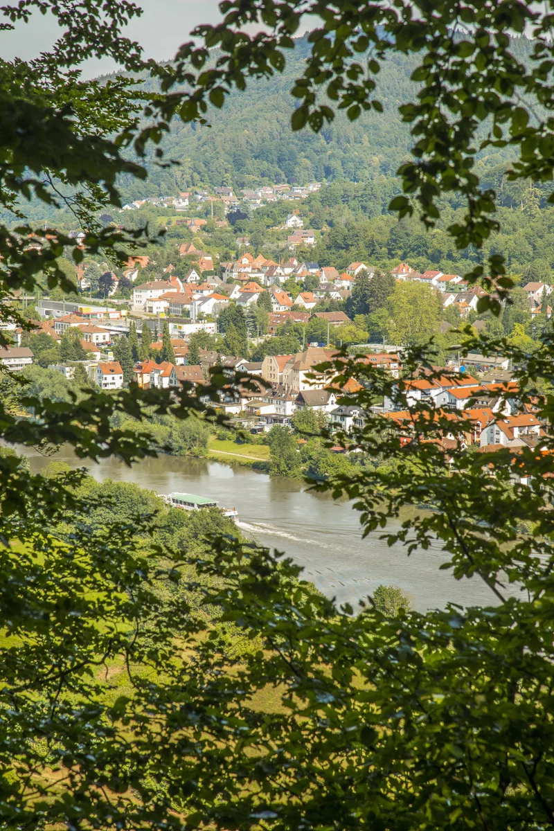
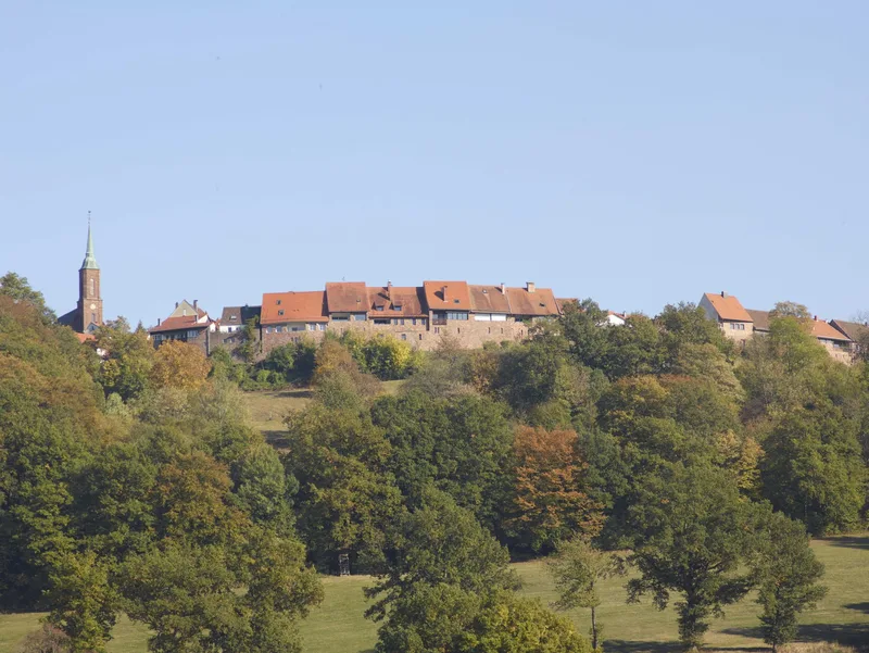
On the 2nd stage of the Neckarsteig, enthusiastic hikers go from Neckargemünd via Dilsberg Castle Fortress to Neckarsteinach. Neckargemünd impresses with its small but charming old town and its imposing city gate. In the upper town forest of Neckargemünd, you reach the Bockfelsen Hut. From there, you have a unique view of Neckargemünd-Kleingemünd, the Neckar bend, and Dilsberg with its fortress. The Tilly Stone, erected in the middle of the forest, commemorates the siege of Dilsberg during the Thirty Years' War by Tilly's troops. Although the trail leads around Dilsberg Castle Fortress, it is worth taking a detour through the tranquil village of Dilsberg with its castle. During a visit, you can look down from the 16 m high castle wall and see the Neckar as it meanders around the entire mountain. At the rear town wall, where a impressive peace linden once stood, a pleasant rest area invites you to take a break. The connecting path from Dilsberg to Neckarsteinach is a beautiful trail through mixed deciduous forest. In Neckarsteinach, you cross the Neckar for the first time at a weir, where you can watch the locks of Neckar shipping in operation. The numerous park benches along the Neckar promenade and the nearby restaurants with their shady beer gardens invite you to linger on the Neckar promenade. Or you can explore the four castles of the Hessian small town: Vorderburg, Mittelburg, Hinterburg, and Schadeck Castle.
- Length
- 9.1 km
- Walking time
- approx. 3:15 h
- Ascent
- 347 m
- Descent
- 365 m
Walking time as stated by the operator.
Elevation profile calculated by Fairvisit from satellite elevation data. Ascent and descent usually differ by up to about 10 %, more on steep terrain.
Start
Bahnhof Neckargemünd Altstadt
Nearby
Along the way
Finish
Neckarufer/Schiffsanlegestelle Neckarsteinach
Nearby