Neckarsteig · Stage 3 of 9
Neckarsteig - Stage 3: Neckarsteinach to Hirschhorn
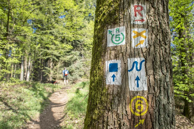
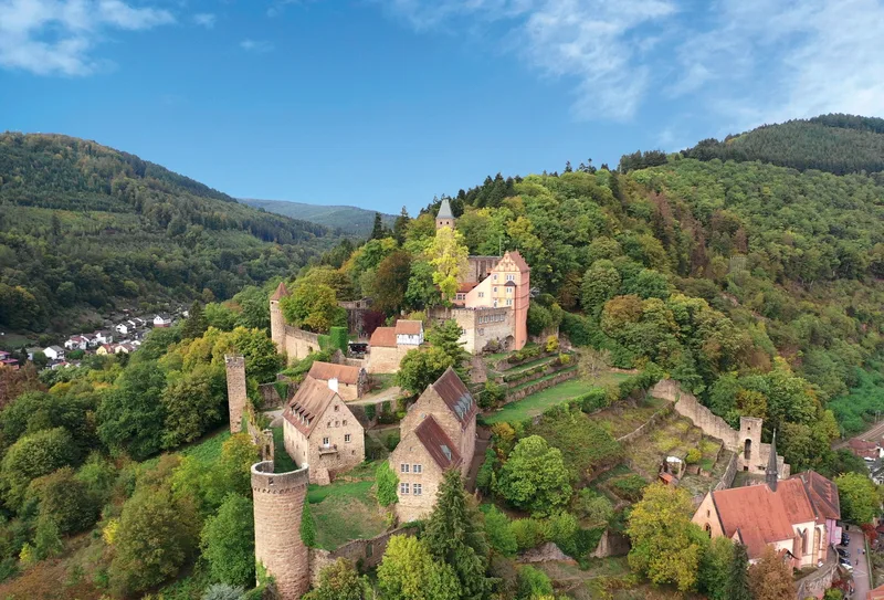
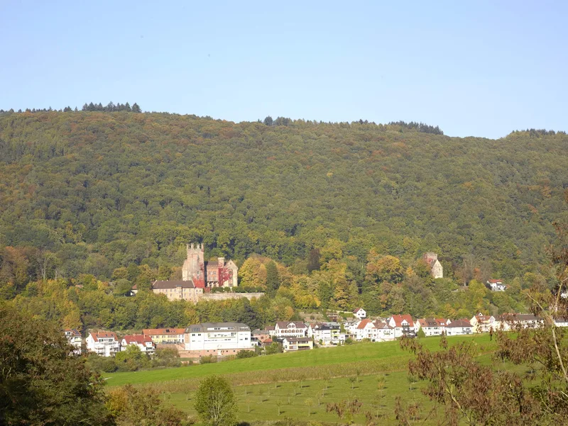
Stage 3 of the Neckarsteig runs for 16.5 km from the town of four castles, Neckarsteinach, to Hirschhorn. A striking sight awaits you when you visit the "town of four castles" Neckarsteinach. The Hinterburg ruin, located directly on the Neckarsteig, was built around 1100. It is worth making a short detour to the Mittelburg (privately owned and open to visitors by prior arrangement) and to the ruin of Schadek Castle. The Goetheblick viewpoint is announced by a sandstone trail marker: a short side path leads to the viewpoint of the same name, from which there is a wonderful view of the Neckar Valley and Dilsberg. Nestled in magnificent mixed forest stands the Schaubild, a protective healing sign in the forest. The Red Bild stands on the border of the former Schönau Monastery with Hirschhorn. There are two legends surrounding the Red Bild: A woman gave birth to quadruplets as a result of adultery. She hid them in a basket in order to carry them to the Neckar and drown them. At the Bildstok she was caught by a forester, who saved the children. Or: an unfaithful guardian hanged himself at the Red Bild and is said to still haunt the place today. The Freischärler grave with the cross directly on the route dates back to the Baden Revolution of 1848/49. Hirschhorn Castle was founded around 1260 and expanded in the 14th century. Since it was spared major destruction, it is now in very good condition and can be visited on guided tours. The weir and lock enabled Hirschhorn to expand to the other side of the Neckar, the present-day Ersheim.
- Length
- 16.2 km
- Walking time
- approx. 5:15 h
- Ascent
- 437 m
- Descent
- 411 m
Walking time as stated by the operator.
Elevation profile calculated by Fairvisit from satellite elevation data. Ascent and descent usually differ by up to about 10 %, more on steep terrain.
Start
Neckarufer/Schiffsanlegestelle Neckarsteinach
Nearby
Along the way
Finish
Hirschhorn Altstadt
Nearby