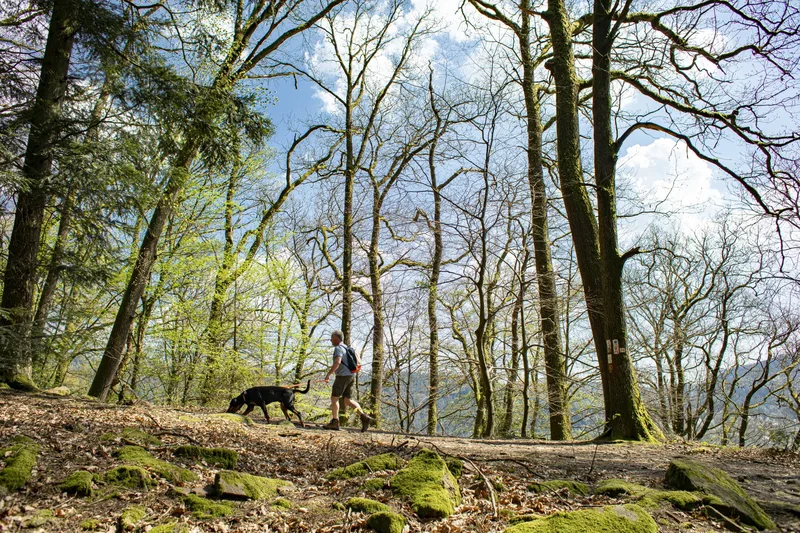
Stage 4 of the Neckarsteig runs for around 12.5 km from Hirschhorn to Eberbach.
The Hoppe Shelter Hut, with views of the Neckar Valley, invites you to take a break.
Through a clearing in the forest, you can enjoy a beautiful view down over Hirschhorn. The Stone Table was built in 1797 as a resting place for hunting parties. At that time, the view of Hirschhorn Castle was still unobstructed.
On the Neckarsteig, you walk around the meander hill Tannenkopf. The Gretengrund, a stream running parallel to the Gammelsbach Valley, offers plenty of shade on hot summer days.
The "Forest Classroom" initiative has settled there and serves kindergartens, schools and clubs as a base for forest experiences and forest education.
A beautifully situated path above the railway line repeatedly offers views of the Neckar or of the beautiful town of Eberbach, directly on the Neckar.
In Eberbach, you have the opportunity in the park running parallel to the riverside road to watch the Neckar shipping traffic and excursion boats, or to admire the impressive bronze sculptures. The entire stage is characterized by old trees.
Length
12.5 km
Walking time
approx. 4:15 h
Ascent
418 m
Descent
419 m
Walking time as stated by the operator.
Elevation profile
200 m400 m
3.1 km0 km12 km
Elevation profile calculated by Fairvisit from satellite elevation data. Ascent and descent usually differ by up to about 10 %, more on steep terrain.
Start
Coordinates49.44567, 8.89614
Hirschhorn Altstadt
Nearby
Along the way
Finish
Coordinates49.46278, 8.98363
Eberbach Altstadt
Nearby
Image rights: Touristikgemeinschaft Odenwald e.V. · CC BY-SA 4.0
Image rights: Touristikgemeinschaft Odenwald e.V. · CC BY-SA 4.0
Image rights: Touristikgemeinschaft Odenwald e.V. · CC BY-SA 4.0
Saved
Fairvisit teamOffline
Hi there!
A question or some feedback? Drop us a line – we'd love to hear from you.
We're offline right now.
Leave us a message and we'll get back to you by email:
Thanks! We've got your message and will reply by email.