Malerweg
· Stage 3 of 8
Malerweg, Stage 3: From Hohnstein to Altendorf (official version by TV Sächsische Schweiz)
Hohnstein → Altendorf
Hohnstein - Bärengarten - Halbenweg - Räumichtweg - Brandaussicht - Tiefer Grund - Dorfgrund - Waitzdorf - Waitzdorf Loop Trail - Mühlweg - Kohlichtgraben - Kohlmühle - Sebnitz Valley - Schwarzbach Estuary - Mühlweg to - Altendorf
- Length
- 14.0 km
- Walking time
- approx. 4:45 h
- Ascent
- 449 m
- Descent
- 440 m
Walking time as stated by the operator.
Elevation profile
4.6 km
7.8 km
11 km
0 km
14 km
Elevation profile calculated by Fairvisit from satellite elevation data. Ascent and descent usually differ by up to about 10 %, more on steep terrain.
Start
Coordinates
50.97783, 14.10931
Hohnstein
-
-
-
Nearby
Along the way
-
Finish
Coordinates
50.93585, 14.18334
Altendorf

-
-
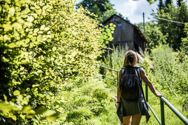
Image rights: Tourismusverband Sächsische Schweiz, Sebastian Thiel · CC BY-SA 4.0
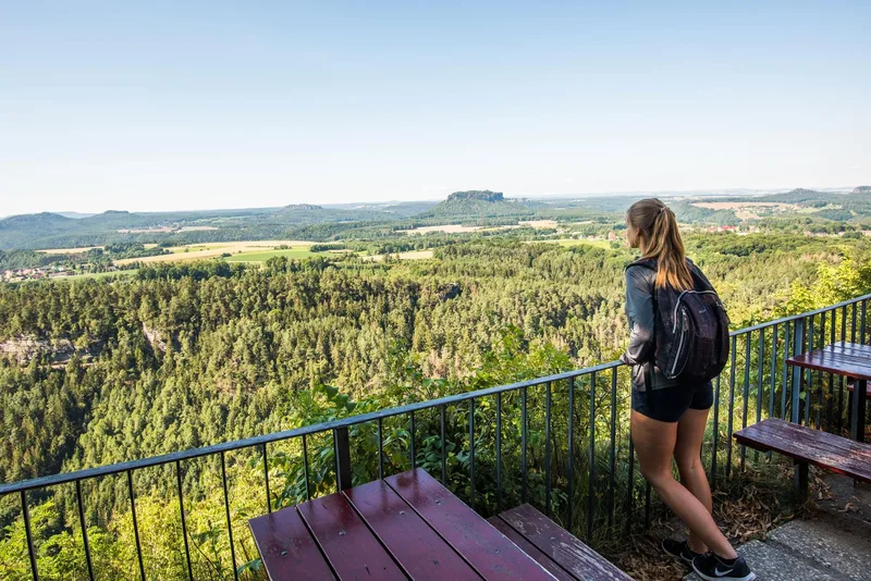
Image rights: Tourismusverband Sächsische Schweiz, Yvonne Brückner · CC BY-SA 4.0
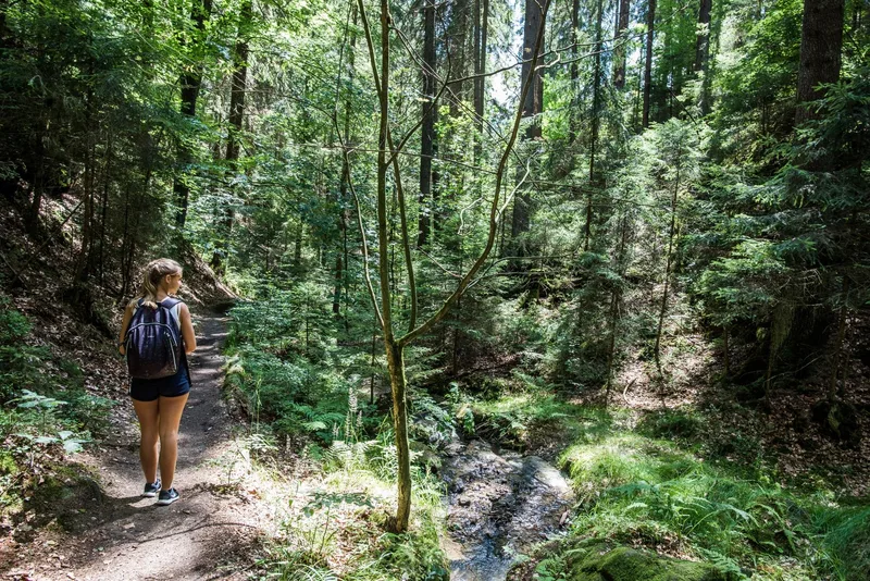
Image rights: Tourismusverband Sächsische Schweiz, Sebastian Thiel · CC BY-SA 4.0