Skip to content

Long-distance trail

Malerweg

About 112 km through Saxon Switzerland, in 8 stages.

Stages
8
Total distance
about 112 km

Stages

Start Finish

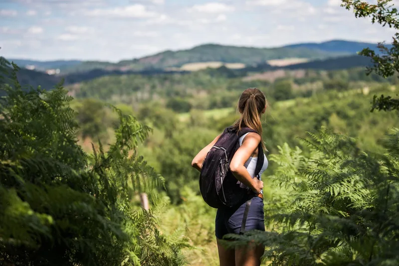
Buswendeplatz in Pirna-Liebethal → Stadt Wehlen

Stage 1

Liebethaler Grund – Mühlsdorf – Coordinate Stone – Lohmen – Uttewalder Grund – City of Wehlen

11.5 km approx. 3:15 h Point-to-point Hiking
View details
Ascent
110 m
Descent
141 m
Highest point
261 m
Lowest point
125 m
Elevation profile
200 m 400 m
3.7 km 7.1 km 0 km 11 km

Elevation profile calculated by Fairvisit from satellite elevation data. Ascent and descent usually differ by up to about 10 %, more on steep terrain.

Source: Yvonne Brückner · CC BY-SA 4.0
Stadt Wehlen → Hohnstein

Stage 2

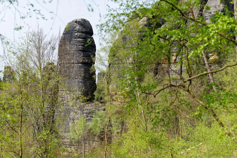
Town of Wehlen - Schwarzbergweg - “Steinerner Tisch” Rest Area - Fremdenweg - Bastei - Bastei Bridge - Basteiweg - Rathen Spa - Amselgrund - Rathen Rock Amphitheater - Amselsee - Amselfall - Rathewalde - Querweg - Hockstein Parking Lot - Hockstein - Wolfsschlucht - Polenztal - Schindergraben - Hohnstein

10.9 km approx. 4:00 h Point-to-point Hiking
View details
Ascent
499 m
Descent
345 m
Highest point
328 m
Lowest point
114 m
Elevation profile
200 m 400 m
2.7 km 8.4 km 0 km 11 km

Elevation profile calculated by Fairvisit from satellite elevation data. Ascent and descent usually differ by up to about 10 %, more on steep terrain.

Source: Yvonne Brückner · CC BY-SA 4.0
Hohnstein → Altendorf

Stage 3

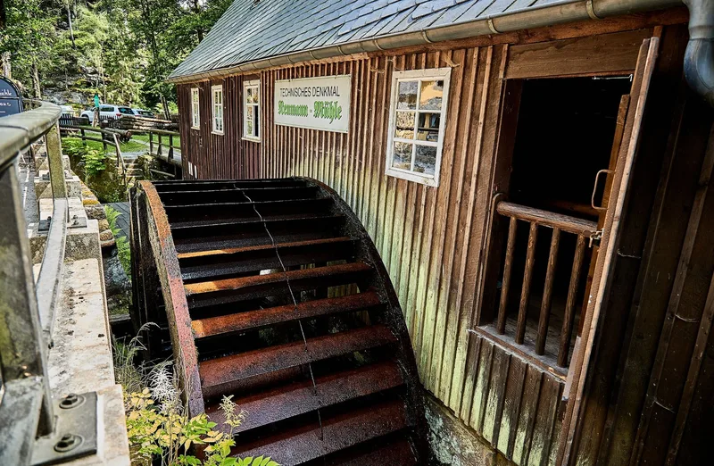
Hohnstein - Bärengarten - Halbenweg - Räumichtweg - Brandaussicht - Tiefer Grund - Dorfgrund - Waitzdorf - Waitzdorf Loop Trail - Mühlweg - Kohlichtgraben - Kohlmühle - Sebnitz Valley - Schwarzbach Estuary - Mühlweg to - Altendorf

14.0 km approx. 4:45 h Point-to-point Hiking
View details
Ascent
449 m
Descent
440 m
Highest point
348 m
Lowest point
142 m
Elevation profile
200 m 400 m
4.6 km 7.8 km 11 km 0 km 14 km

Elevation profile calculated by Fairvisit from satellite elevation data. Ascent and descent usually differ by up to about 10 %, more on steep terrain.

Source: Yvonne Brückner · CC BY-SA 4.0
Altendorf → Neumannmühle

Stage 4

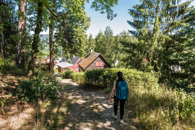
Altendorf – Dorfbachklamm – Kirnitzschtal – Flößersteig – Ostrauer Mühle – Mühlweg–Bauweg – Elbleitenweg – Schrammsteine – Jägersteig or Wildschützensteig - Schrammsteingrat Trail - Schrammstein Viewpoint - Zurückesteig Trail - Kleiner Dom - Sandloch - Zeughausweg Trail - Lower Affenstein Trail - Lichtenhain Waterfall - Kuhstall - Neuer Wildenstein - Neumann Mill

18.3 km approx. 6:15 h Point-to-point Hiking
View details
Ascent
553 m
Descent
662 m
Highest point
435 m
Lowest point
133 m
Elevation profile
200 m 400 m
8.4 km 14 km 0 km 18 km

Elevation profile calculated by Fairvisit from satellite elevation data. Ascent and descent usually differ by up to about 10 %, more on steep terrain.

Source: Yvonne Brückner · CC BY-SA 4.0
Neumannmühle → Schmilka

Stage 5

Neumannmühle - Buschmühle - Arnstein - Neuer Weg - Kleinstein - Sturmbauers Eck - Räumichtmühle - Mühlschlüchte - Großes Pohlshorn - Kirnitzsch - Zeughaus - Goldstein Lookout - Rosssteig - Katzstein - Großer Winterberg - Schmilka

13.6 km approx. 5:00 h Point-to-point Hiking
View details
Ascent
587 m
Descent
676 m
Highest point
543 m
Lowest point
119 m
Elevation profile
200 m 400 m
4.9 km 0 km 13 km

Elevation profile calculated by Fairvisit from satellite elevation data. Ascent and descent usually differ by up to about 10 %, more on steep terrain.

Source: Yvonne Brückner · CC BY-SA 4.0
Schmilka → Kurort Gohrisch

Stage 6

Schmilka - Elbe Ferry - Schmilka-Hirschmühle S-Bahn Station - Aschersteig - Schöna - Caspar David Friedrich Trail - Wolfsberg - Reinhardtsdorf - Krippenberg - Püschelweg - Elysiumweg - Koppelbergsweg - Liethenmühle - Alter Schulweg - Papststein - Gohrisch (Stein) - Muselweg - Gohrisch

18.0 km approx. 6:00 h Point-to-point Hiking
View details
Ascent
667 m
Descent
448 m
Highest point
442 m
Lowest point
118 m
Elevation profile
200 m 400 m
5.1 km 9.3 km 0 km 17 km

Elevation profile calculated by Fairvisit from satellite elevation data. Ascent and descent usually differ by up to about 10 %, more on steep terrain.

Source: Yvonne Brückner · CC BY-SA 4.0

Kurort Gohrisch → Weißig

Stage 7

Gohrisch Spa Town - Musel Trail - Jagdsteig Trail - Königsweg Trail - Old School Trail - Pfaffendorf - Nadelöhr - Pfaffenstein - Bequemer Trail - Quirl - Pfaffendorf Sports Field - Königstein - Latzweg - Königstein Fortress - Old Fortress Road - Kanonenweg - Thürmsdorf - Thürmsdorf Castle - Malerweg Chapel - Eulensteine - Weißig

16.6 km approx. 5:45 h Point-to-point Hiking
View details
Ascent
568 m
Descent
639 m
Highest point
417 m
Lowest point
118 m
Elevation profile
200 m 400 m
8.2 km 12 km 0 km 16 km

Elevation profile calculated by Fairvisit from satellite elevation data. Ascent and descent usually differ by up to about 10 %, more on steep terrain.

Source: Yvonne Brückner · CC BY-SA 4.0

Weißig → Pirna Markt

Stage 8

Weißig - Rauenstein - Rauenstein Ridge Trail - Wehlen-Pötzscha - Naundorf - Robert Sterl House - former quarries (Alternative: Panorama Trail) - Königsnase - Obervogelgesang - Elbe Cycle Route - Pirna - Canaletto Trail - Pirna Market Square - Canaletto House

13.8 km approx. 4:15 h Point-to-point Hiking
View details
Ascent
256 m
Descent
360 m
Highest point
286 m
Lowest point
112 m
Elevation profile
200 m 400 m
4.4 km 9.6 km 0 km 14 km

Elevation profile calculated by Fairvisit from satellite elevation data. Ascent and descent usually differ by up to about 10 %, more on steep terrain.

Source: Yvonne Brückner · CC BY-SA 4.0

Elevation data

produced using Copernicus WorldDEM-30 © DLR e.V. 2010-2014 and © Airbus Defence and Space GmbH 2014-2018 provided under COPERNICUS by the European Union and ESA; all rights reserved

The organisations in charge of the Copernicus programme by law or by delegation do not incur any liability for any use of the Copernicus WorldDEM-30.

Regions along the route

The route passes through these regions. Each region guide shows the stages running through it, along with places to stay nearby.

Saved