Ahrsteig · Stage 1 of 7
AhrSteig Stage 1: Blankenheim-Freilinger See
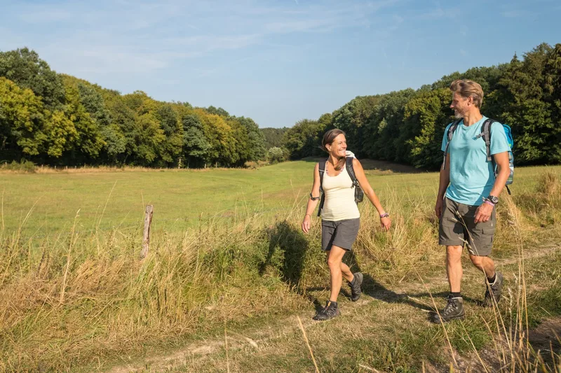
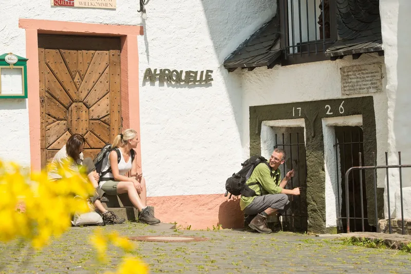
The Ahr spring in Blankenheim marks the start of the first stage of the AhrSteig. The historic old town presents itself with medieval flair, ancient town gates, and romantic half-timbered ensembles. Blankenheim Castle, dating back to the 12th century and situated above the town, offers views into the heights of the Ahr Mountains. The Eifel Museum, with its permanent and temporary folklore and natural history exhibitions, lies along the route. The path leads through winding alleys, along Swan Pond, following the upper reaches of the Ahr downstream. A railway underpass is crossed, followed by an ascent. The route then turns into a forest path that runs above the Ahr Valley through dense beech woodland. The Oberahreck Viaduct lies a short distance away before the plateau of Birker Berg is reached. The effort of the climbs rewards hikers with far-reaching views of the southern heights of the High Eifel. The trail continues through grain fields and over quiet forest paths on Bohrsberg to the shore of Lake Freilingen. The local recreation area at Lake Freilingen offers a wide range of leisure activities. In summer, the lake is a popular destination for surfers and water sports enthusiasts.
- Length
- 11.5 km
- Walking time
- approx. 3:15 h
- Ascent
- 161 m
- Descent
- 182 m
Walking time as stated by the operator.
Elevation profile calculated by Fairvisit from satellite elevation data. Ascent and descent usually differ by up to about 10 %, more on steep terrain.
Start
Blankenheim
Nearby
Finish
Freilinger See
Nearby