Ahrsteig · Stage 2 of 7
AhrSteig Stage 2: Freilinger See - Aremberg
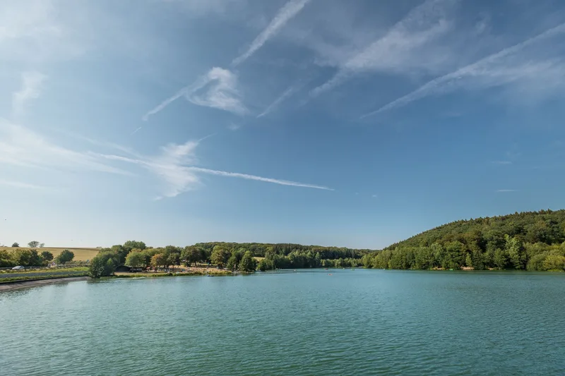
AhrSteig Stage 2: Freilinger Lake - Aremberg The second stage of the AhrSteig, from Freilinger Lake to Aremberg, presents impressive scenic diversity. From Freilingen, after crossing the L115, the trail steadily climbs up to Hühnerberg. This, visible from afar by the cross, offers extensive panoramic views. The route then leads across a broad plateau through the Am Gericht area. Leading into the forest, the path follows the historic Roman road for a considerable distance. The forest section between Lommersdorf and Aremberg conveys a sense of seclusion. After crossing a connecting road, the trail descends, merging into a quiet path. A surfaced forest road reaches Aremberg, where old Stations of the Cross and the Guardian Angel Chapel dedicated to the Archangel Raphael welcome visitors. From here, a southern panorama opens up with Nürburg and Hohe Acht. The picturesque village of Aremberg, nestled in the wide landscape, fascinates with its charming lanes and distant views as far as the Ardennes and Schneifel.
- Length
- 12.2 km
- Walking time
- approx. 3:45 h
- Ascent
- 257 m
- Descent
- 164 m
Walking time as stated by the operator.
Elevation profile calculated by Fairvisit from satellite elevation data. Ascent and descent usually differ by up to about 10 %, more on steep terrain.
Start
Freilinger See
Along the way
Finish
Aremberg
Nearby