Eifelsteig · Stage 5 of 15
Eifelsteig Stage 05
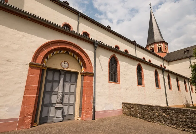
The fifth stage of the Eifelsteig stretches from Gemünd to Steinfeld Monastery. The starting point of the hike is Schleiden-Gemünd, at the confluence of the Olef and the Urft. The route begins at the mouth of the Olef and initially follows a steadily ascending forest path. This section offers an immersive woodland experience, with winding trails leading to a viewpoint. From Kuckucksley, there is a view over the broad, wooded Olef Valley and the village of Olef, which is the next stage destination. The village square, characterized by historic half-timbered houses and a village church, creates a harmonious overall impression. The Olef Valley is then left behind, and the trail continues through quiet forest sections. Along the path, there are abandoned ore mines and prospecting sites, which serve as evidence of the area's former mining history. After the village of Golbach, the landscape opens up, and Steinfeld Monastery becomes visible as the stage destination. The route leads along streams and meadows, creating a contemplative atmosphere. The monastery grounds are reached, with its medieval walls standing out prominently. Access to the monastery area allows entry into an environment that invites inner reflection and contemplation. Inside the monastery is the tomb of Saint Hermann Josef, whose visit is a special highlight of the stage.
- Length
- 17.5 km
- Walking time
- approx. 5:30 h
- Ascent
- 491 m
- Descent
- 313 m
Walking time as stated by the operator.
Elevation profile calculated by Fairvisit from satellite elevation data. Ascent and descent usually differ by up to about 10 %, more on steep terrain.
Start
Am Marienplatz, 54673 Gemünd
Nearby
Along the way
Finish
Hermann-Josef-Straße 4, 53925 Kloster Steinfeld
Nearby