Skip to content

Long-distance trail

Elberadweg

Cycle route along the Elbe; the German section runs from the Czech border to Cuxhaven.

Stages

Start Finish

Kugelbake → Am Hafen

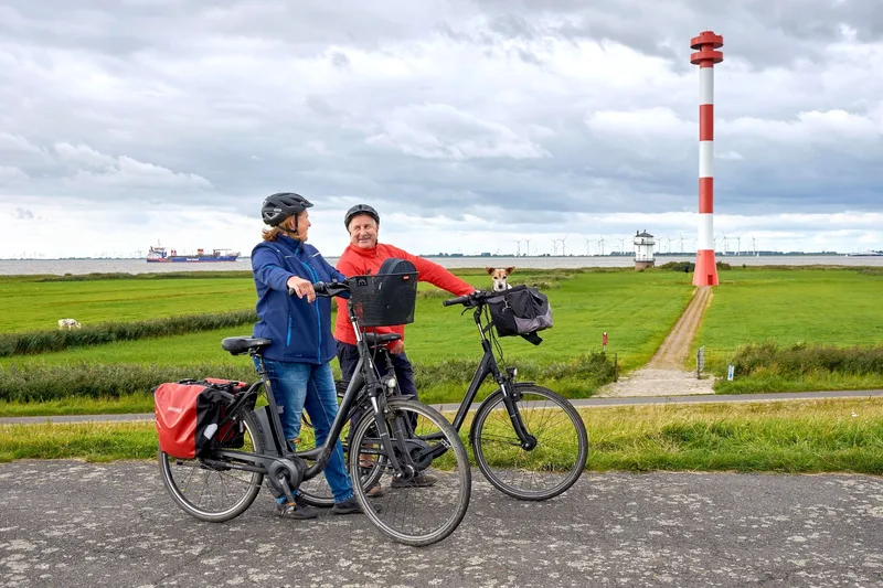
Sea breeze, salty air, wind, and seagull cries characterize this section of the Elbe Cycle Route. Here, the route shows its maritime side. Cuxhaven and Brunsbüttel form the central locations on both sides of the Elbe in this section. At times, the opposite Elbe bank disappears behind the horizon. The high dikes with many sheep gates testify to a long tradition of coastal protection. Fishing has left its traces in the towns just as much as seafaring.

56.6 km approx. 14:15 h Point-to-point Cycling
View details
Ascent
43 m
Descent
41 m
Highest point
10 m
Elevation profile
0 m 10 m
24 km 35 km 0 km 56 km

Elevation profile calculated by Fairvisit from satellite elevation data. Ascent and descent usually differ by up to about 10 %, more on steep terrain.

Source: Stefanie John von Zydowitz · CC BY 4.0

Fähranleger Finkenwerder → Fährstraße Lühe

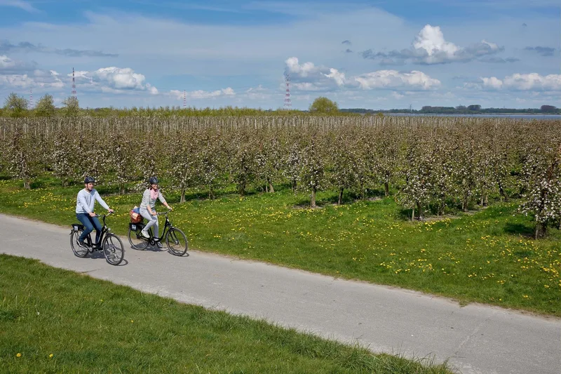
The 32 km tour runs from the ferry landing in Finkenwerder to the ferry landing in Lühe - ideal for a short bike ride along the Elbe and through the orchard region of Altes Land. The route can be cycled in both directions. It combines a stretch of Elbe scenery with the hinterland, the orchard region of Altes Land. From mid to late April, the region turns into a sea of white and pink blossoms; from late summer, the harvest of cherries, apples, pears, plums and many other fruits begins in the largest contiguous fruit-growing area in Northern Europe. Anyone interested in the history of the region should plan a stop at [Museum Altes Land](https://museum-altesland.jork.de/museen/museum-altes-land/) in Jork. Organ lovers can admire the original Arp Schnitger organ in Steinkirchen Church.

30.8 km approx. 7:45 h Point-to-point Cycling
View details
Ascent
15 m
Descent
15 m
Highest point
6 m
Lowest point
-1 m
Elevation profile
0 m 10 m
12 km 17 km 0 km 31 km

Elevation profile calculated by Fairvisit from satellite elevation data. Ascent and descent usually differ by up to about 10 %, more on steep terrain.

Source: Tourismusverband Landkreis Stade/Elbe e.V. · CC0 1.0 Open route description (external link)

Parkplatz Fährstraße oder Lühe-Anleger → Wischhafen

From the Altes Land orchard region via the charming Hanseatic city of Stade, this flat section of the Elbe Cycle Route leads into the maritime Kehdingen region. The route mostly runs behind the dike along the Elbe and can be cycled in both directions.

42.9 km approx. 10:45 h Point-to-point Cycling
View details
Ascent
22 m
Descent
20 m
Highest point
8 m
Lowest point
-1 m
Elevation profile
0 m 10 m
14 km 23 km 32 km 0 km 43 km

Elevation profile calculated by Fairvisit from satellite elevation data. Ascent and descent usually differ by up to about 10 %, more on steep terrain.

Source: Tourismusverband Landkreis Stade/Elbe e.V. · CC0 1.0 Open route description (external link)

Tourist-Information Wischhafen → Cuxhaven Fort Kugelbarke

The land "between the dikes" is a resting place for thousands of migratory birds in spring and autumn on their way to their summer or winter quarters. The cycle path leads through the flat, maritime landscape of the Lower Elbe on mostly paved paths.

64.8 km approx. 16:15 h Point-to-point Cycling
View details
Ascent
51 m
Descent
45 m
Highest point
10 m
Elevation profile
0 m 10 m
31 km 45 km 0 km 64 km

Elevation profile calculated by Fairvisit from satellite elevation data. Ascent and descent usually differ by up to about 10 %, more on steep terrain.

Source: Tourismusverband Landkreis Stade/Elbe e.V. · CC0 1.0

Elevation data

produced using Copernicus WorldDEM-30 © DLR e.V. 2010-2014 and © Airbus Defence and Space GmbH 2014-2018 provided under COPERNICUS by the European Union and ESA; all rights reserved

The organisations in charge of the Copernicus programme by law or by delegation do not incur any liability for any use of the Copernicus WorldDEM-30.

Regions along the route

The route passes through these regions. Each region guide shows the stages running through it, along with places to stay nearby.

Saved