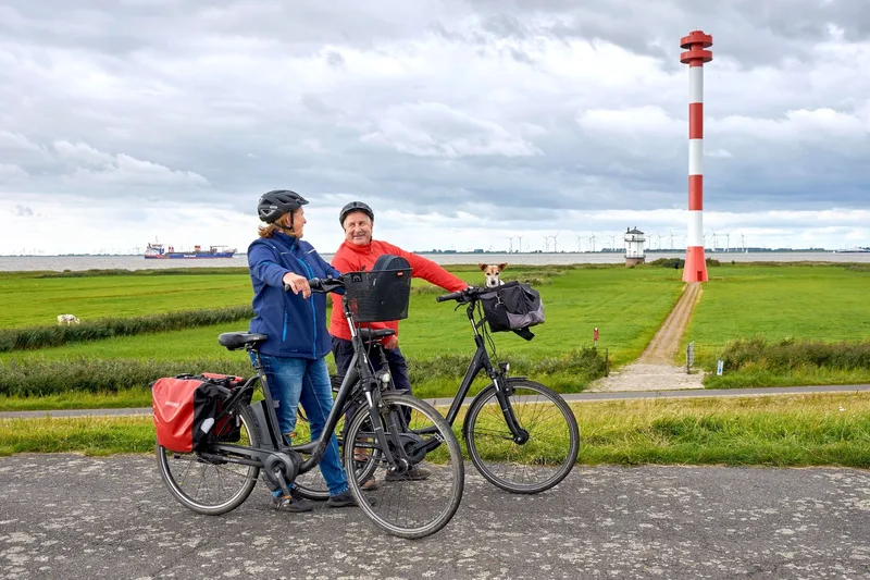
Elbe Cycle Route: section Wischhafen - Cuxhaven in the holiday region Altes Land am Elbstrom
Tourist-Information Wischhafen → Cuxhaven Fort Kugelbarke
The land "between the dikes" is a resting place for thousands of migratory birds in spring and autumn on their way to their summer or winter quarters. The cycle path leads through the flat, maritime landscape of the Lower Elbe on mostly paved paths.
Length
64.8 km
Walking time
approx. 16:15 h
Ascent
51 m
Descent
45 m
Walking time without breaks, calculated from length and elevation using the hiking standard DIN 33466 (per hour: 4 km, 300 m uphill, 500 m downhill).
Elevation profile
31 km45 km0 km64 km
Elevation profile calculated by Fairvisit from satellite elevation data. Ascent and descent usually differ by up to about 10 %, more on steep terrain.
Start
Coordinates53.77324, 9.31847
Tourist-Information Wischhafen
Nearby
Along the way
Finish
Coordinates53.89170, 8.68163
Cuxhaven Fort Kugelbarke
Nearby
Image rights: Tourismusverband Landkreis Stade e.V., Urlaubsregion Altes Land am Elbstrom · CC0 1.0
Saved
Fairvisit teamOffline
Hi there!
A question or some feedback? Drop us a line – we'd love to hear from you.
We're offline right now.
Leave us a message and we'll get back to you by email:
Thanks! We've got your message and will reply by email.