Skip to content
Saar-Hunsrück-Steig

Saar-Hunsrück-Steig · Stage 2 of 27

Saar-Hunsrück-Steig - 2nd stage: Hellendorf – Tünsdorf – Orscholz – Mettlach

From Hellendorf

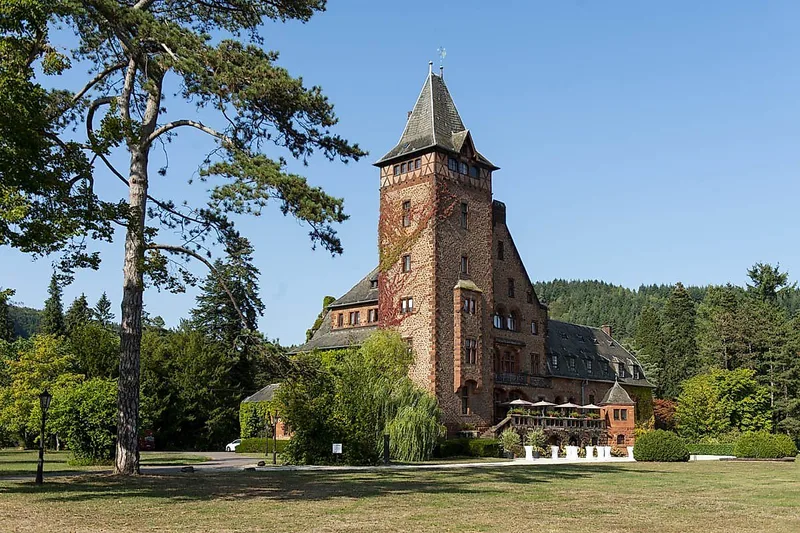
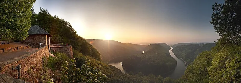
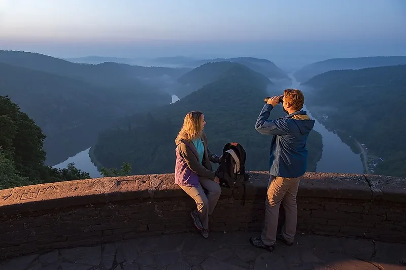
Highlights of this stage are the Cloef viewpoint and the treetop path with views of the Saarschleife as well as the ceramics town of Mettlach.

Length
18.6 km
Walking time
approx. 5:30 h
Ascent
246 m
Descent
462 m

Walking time as stated by the operator.

Elevation profile 159–419 m
200 m 300 m 400 m
419 m 3.9 km 406 m 11 km 0 km 19 km

Start

Coordinates 49.48408, 6.46111

Hellendorf

Along the way

Finish

Coordinates 49.49739, 6.59676

Nearby
Saar-Hunsrück-Steig - 2nd stage: Hellendorf – Tünsdorf – Orscholz – Mettlach
Image rights: https://creativecommons.org/licenses/by/4.0/deed.de · CC BY 4.0
Saar-Hunsrück-Steig - 2nd stage: Hellendorf – Tünsdorf – Orscholz – Mettlach
Image rights: https://creativecommons.org/licenses/by/4.0/deed.de · CC BY 4.0
Saar-Hunsrück-Steig - 2nd stage: Hellendorf – Tünsdorf – Orscholz – Mettlach
Image rights: https://creativecommons.org/licenses/by/4.0/deed.de · CC BY 4.0
Saar-Hunsrück-Steig - 2nd stage: Hellendorf – Tünsdorf – Orscholz – Mettlach
Image rights: https://creativecommons.org/licenses/by/4.0/deed.de · CC BY 4.0
Saar-Hunsrück-Steig - 2nd stage: Hellendorf – Tünsdorf – Orscholz – Mettlach
Image rights: https://creativecommons.org/licenses/by/4.0/deed.de · CC BY 4.0
Saar-Hunsrück-Steig - 2nd stage: Hellendorf – Tünsdorf – Orscholz – Mettlach
Image rights: https://creativecommons.org/licenses/by/4.0/deed.de · CC BY 4.0
Saar-Hunsrück-Steig - 2nd stage: Hellendorf – Tünsdorf – Orscholz – Mettlach
Image rights: https://creativecommons.org/licenses/by/4.0/deed.de · CC BY 4.0
Saar-Hunsrück-Steig - 2nd stage: Hellendorf – Tünsdorf – Orscholz – Mettlach
Image rights: https://creativecommons.org/licenses/by/4.0/deed.de · CC BY 4.0
Saar-Hunsrück-Steig - 2nd stage: Hellendorf – Tünsdorf – Orscholz – Mettlach
Image rights: https://creativecommons.org/licenses/by/4.0/deed.de · CC BY 4.0
Saved