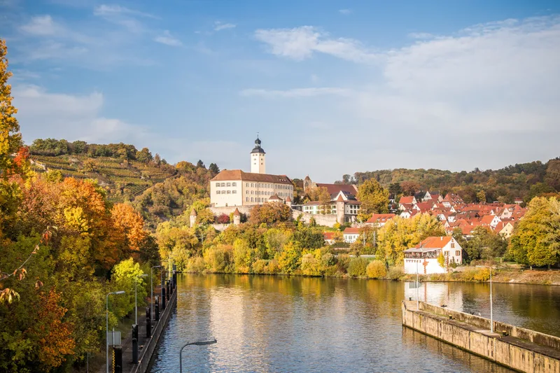
Neckar Valley Cycle Route Stage 7: Bad Wimpfen - Eberbach
Bad Wimpfen → Eberbach
No other landscape anywhere in Germany can boast such a density of castles, castle ruins, and palaces as the Neckar Valley. On the 7th stage of the cycle route, these castles await you in all their splendor.
Bad Wimpfen marks the transition from Württemberg to the Electoral Palatinate, from Swabian to Baden territory, from the vineyard slopes to the red sandstone cliffs of the Odenwald.
This is where the Neckar Valley castle district begins; hardly half an hour passes before the next hilltop fortress is reached. At Guttenberg Castle, real nobles still reside in walls that have remained undestroyed throughout all the centuries. Its attraction is the bird of prey center, where in season eagles and vultures majestically spread their wings over the Neckar Valley every day.
A few kilometers farther on, at Hornberg Castle, the famous Götz von Berlichingen once resided before entering the history books with a curse on his lips. Castle after castle, the Neckar pushes farther into the Odenwald, accompanied by ships that must be raised to the next level at numerous locks.
An experience! The stage ends in the beautiful half-timbered town of Eberbach, where the Neckar now turns 90 degrees and continues westward.
Length
43.3 km
Walking time
approx. 11:30 h
Ascent
230 m
Descent
247 m
Walking time without breaks, calculated from length and elevation using the hiking standard DIN 33466 (per hour: 4 km, 300 m uphill, 500 m downhill).
Elevation profile
140 m160 m
15 km27 km0 km43 km
Elevation profile calculated by Fairvisit from satellite elevation data. Ascent and descent usually differ by up to about 10 %, more on steep terrain.