Malerweg
· Stage 5 of 8
Malerweg, Stage 5: From Neumannmühle to Schmilka (official version by TV Sächsische Schweiz)
Neumannmühle → Schmilka
Neumannmühle - Buschmühle - Arnstein - Neuer Weg - Kleinstein - Sturmbauers Eck - Räumichtmühle - Mühlschlüchte - Großes Pohlshorn - Kirnitzsch - Zeughaus - Goldstein Lookout - Rosssteig - Katzstein - Großer Winterberg - Schmilka
Read more
Length 13.6 km
Walking time approx. 5:00 h
Ascent 587 m
Descent 676 m
Walking time as stated by the operator.
Elevation profile
Elevation profile calculated by Fairvisit from satellite elevation data. Ascent and descent usually differ by up to about 10 %, more on steep terrain.
Start
Coordinates
50.92356, 14.28468
{ copied = true; setTimeout(() => copied = false, 2000); })"
aria-label="Copy coordinates" title="Copy coordinates">
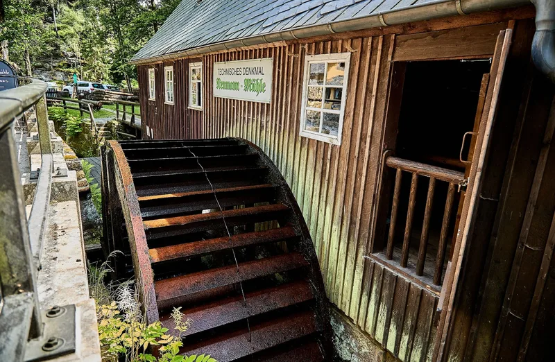
Neumannmühle
P
Car park · Gäste Neumannmühle
15 m from the start
Stop · Kirnitzschtal, Neumannmühle
19 m from the start
Stop · Buschmühle
309 m from the start
Nearby
Neumannmühle
Buschmühle (Sebnitz)
Gasthaus Buschmühle
Along the way
km 0.7
Ottendorfer Raubschloss
Culture · 227 m off the trail
km 2.7
Kleinsteinhöhle
Nature · 54 m off the trail
km 11.3
Wanderrast Großer Winterberg
Food & drink · 50 m off the trail
Finish
Coordinates
50.89147, 14.22990
{ copied = true; setTimeout(() => copied = false, 2000); })"
aria-label="Copy coordinates" title="Copy coordinates">
Schmilka
P
Car park
90 m from the finish
Stop · Schmilka
18 m from the finish
Stop · Schmilka, Grenzübergang
61 m from the finish
Nearby
Gasthof zur Mühle
Zur alten Schule
Fuhrmann's Elb-Cafe
Café & Bistro Daheim
Mühlenhof
Image rights: Tourismusverband Sächsische Schweiz, Marko Förster · CC BY 4.0
Image rights: Tourismusverband Sächsische Schweiz, Britta Hirschburger · CC BY 4.0
‹ Previous stage
Malerweg, Etappe 4: Von Altendorf zur Neumannmühle (offizielle Version TV Sächsische Schweiz)
Next stage ›
Malerweg, Etappe 6: Von Schmilka bis Kurort Gohrisch (offizielle Version TV Sächsische Schweiz)
Check trail conditions and closures with the operator before you set off.
Source: Yvonne Brückner · CC BY-SA 4.0
Elevation data: produced using Copernicus WorldDEM-30 © DLR e.V. 2010-2014 and © Airbus Defence and Space GmbH 2014-2018 provided under COPERNICUS by the European Union and ESA; all rights reserved
The organisations in charge of the Copernicus programme by law or by delegation do not incur any liability for any use of the Copernicus WorldDEM-30.