Skip to content
Kammweg Erzgebirge-Vogtland

Kammweg Erzgebirge-Vogtland · Stage 17 of 17

Kammweg stage 17 "From Hirschberg to Blankenstein"

Museum für Gerberei- und Stadtgeschichte → Selbitzplatz
Length
13.8 km
Walking time
approx. 4:15 h
Ascent
323 m
Descent
352 m

Walking time as stated by the operator.

Elevation profile
450 m 500 m
500 m 4.3 km 516 m 9.4 km 0 km 14 km

Elevation profile calculated by Fairvisit from official terrain data.

Start

Coordinates 50.40173, 11.81642

Hirschberg, Museum für Gerberei- und Stadtgeschichte

Nearby

Along the way

Finish

Coordinates 50.40110, 11.69992

Blankenstein, Selbitzplatz

Nearby
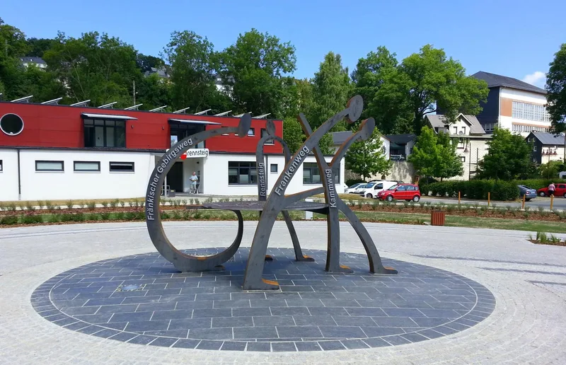
Kammweg stage 17 "From Hirschberg to Blankenstein"
Image rights: Wanderstützpunkt Blankenstein, Birgit Knöbel · CC BY-SA 4.0
Kammweg stage 17 "From Hirschberg to Blankenstein"
Image rights: Tourismusverband Vogtland e. V., Sebastian Theilig · CC BY-SA 4.0
Kammweg stage 17 "From Hirschberg to Blankenstein"
Image rights: Tourismusverband Vogtland e. V., Sebastian Theilig · CC BY-SA 4.0
Kammweg stage 17 "From Hirschberg to Blankenstein"
Image rights: Tourismusverband Vogtland e.V. · CC BY-SA 4.0
Kammweg stage 17 "From Hirschberg to Blankenstein"
Image rights: Tourismusverband Vogtland e. V., Sebastian Theilig · CC BY-SA 4.0
Kammweg stage 17 "From Hirschberg to Blankenstein"
Image rights: Tourismusverband Vogtland e.V. · CC BY-SA 4.0
Kammweg stage 17 "From Hirschberg to Blankenstein"
Image rights: Tourismusverband Vogtland e.V. (A. Willig) · CC BY-SA 4.0
Kammweg stage 17 "From Hirschberg to Blankenstein"
Image rights: Tourismusverband Vogtland e. V., Sebastian Theilig · CC BY-SA 4.0

Check trail conditions and closures with the operator before you set off.

Source: Tourismusverband Vogtland · CC BY-SA 4.0

Elevation data: Datenquelle: Bayerische Vermessungsverwaltung – www.geodaten.bayern.de, CC BY 4.0

Saved