Eifelsteig · Stage 7 of 15
Eifelsteig Stage 07
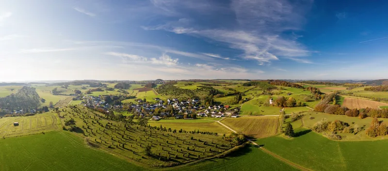
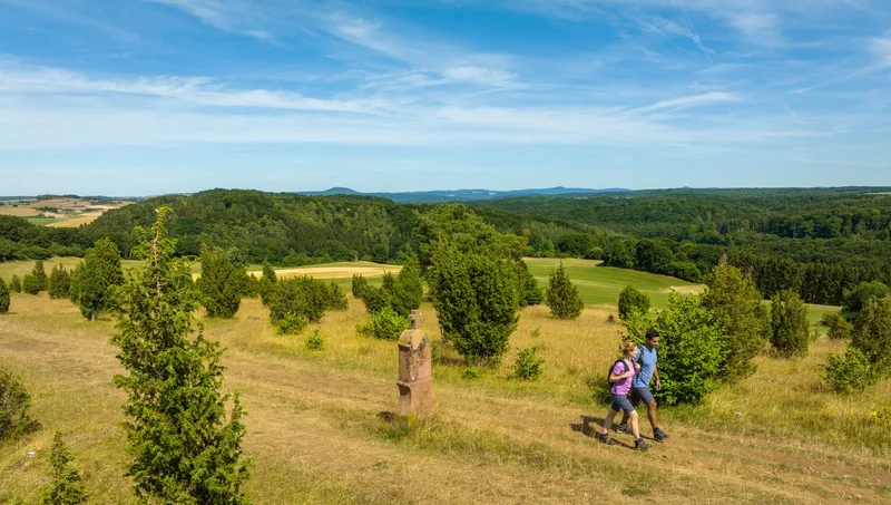
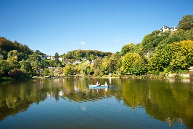
Eifelsteig stage 7 stretches from Blankenheim to Mirbach. The starting point of this tour holds a remarkable feature: beneath a historic building in Blankenheim’s old town, the Ahr rises, where it has its source. From the source area of the Ahr, the Eifelsteig leads into wooded regions. At first, the trail follows the historic Bread Path through varied terrain. This path once served to transport and distribute baked goods to Blankenheim, which led to the merchants moving briskly. Today, the route offers a contemplative exploration, including the ascent to a hilltop. There, hikers are greeted by the distinctive Bread Path Hut, whose appeal becomes immediately apparent. A guestbook is provided, offering the opportunity to leave a personal mark on the Eifelsteig. After a rest break, the trail continues through expansive forest and meadow landscapes that open up views into the distance. Beyond Alendorf, Calvary Hill, a summit at an elevation of 520 meters, is gradually climbed. A refreshing wind accompanies the ascent and conveys a feeling of openness and achievement. The clear mountain air invites you to pause and take a deep breath. In the summit area, slender, lush green junipers can be found, whose presence in Alendorf is honored each year with a festival and juniper schnapps. From Calvary Hill, the stage destination is already in sight. Following the gently meandering Mirbach, you reach the village. There stands an architecturally appealing chapel, which is recommended for a visit. The Redeemer Chapel fascinates with thousands of golden mosaic stones that bathe the interior in a unique light and form an impressive conclusion to the stage.
- Length
- 17.7 km
- Walking time
- approx. 5:30 h
- Ascent
- 362 m
- Descent
- 373 m
Walking time as stated by the operator.
Elevation profile calculated by Fairvisit from satellite elevation data. Ascent and descent usually differ by up to about 10 %, more on steep terrain.
Start
Zentrum am Rathaus, 53945 Blankenheim
Nearby
Along the way
Finish
Parkplatz Haus Mirbach, 54578 Mirbach
Nearby